Klöntalersee Guide: Getting There, the Loop Trail and Bus Tips
Plan Klöntalersee in Glarus: bus 504 and car access, the lake loop vs a short visit, season limits, swimming notes and where to stay.
On this page
Last updated November 2026: Klöntalersee (searched as klontalersee without the umlaut) is a lake at 848 m, about 2,782 ft, in the Klöntal valley of canton Glarus. Take the train to Glarus station, then PostBus route 504 up the valley. This guide helps you choose between a short shore stop and the full loop, and it belongs to our Swiss lakes guide.
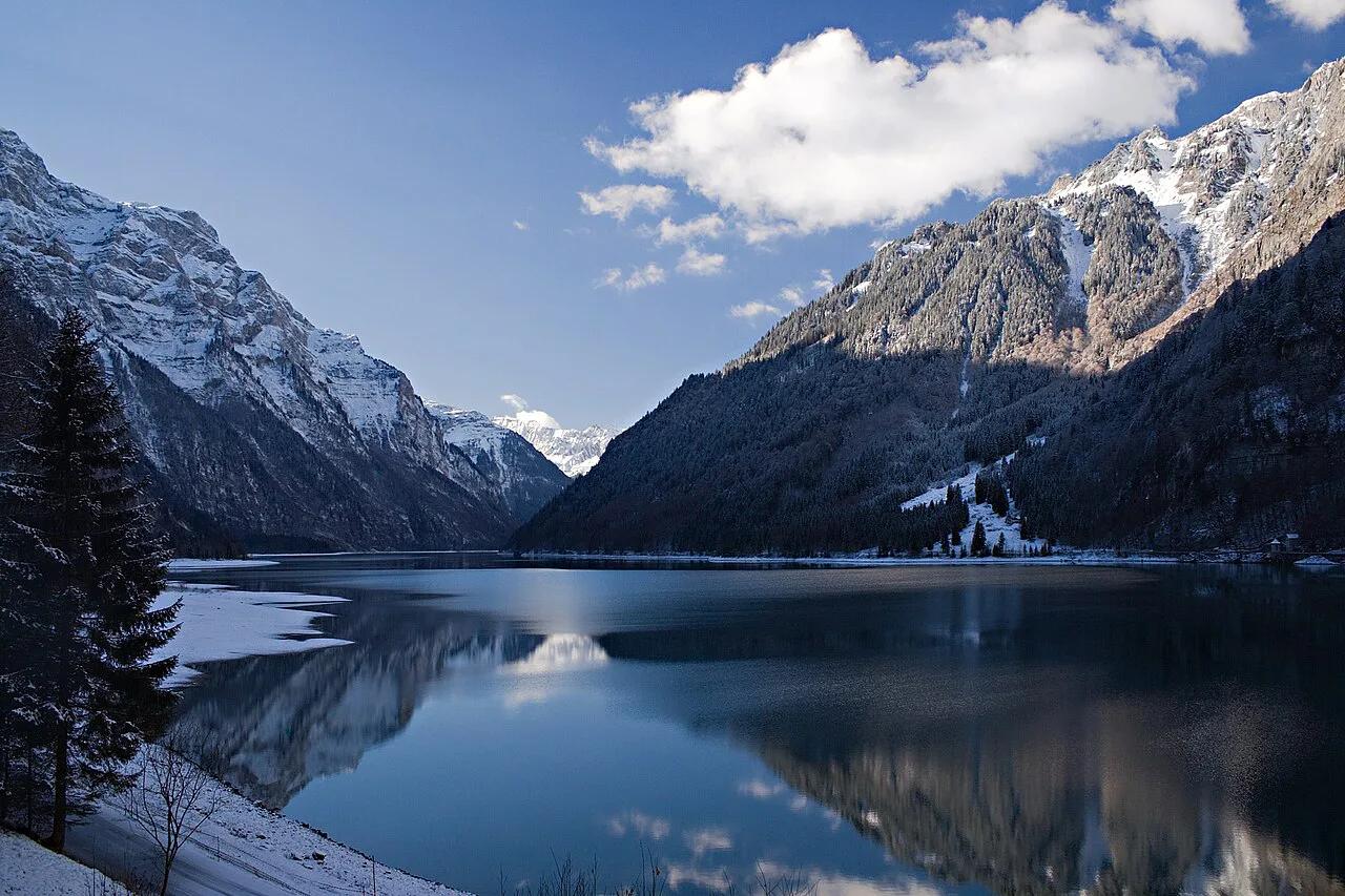
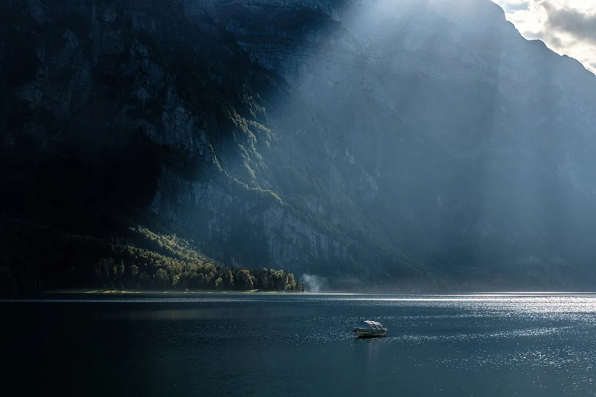
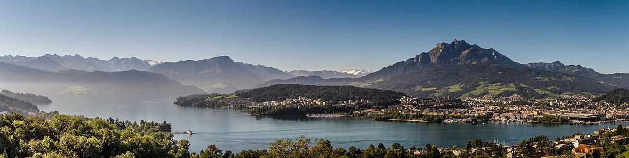
Featured image: Ikiwaner, CC BY-SA 3.0, via Wikimedia Commons.
Klöntalersee at a glance
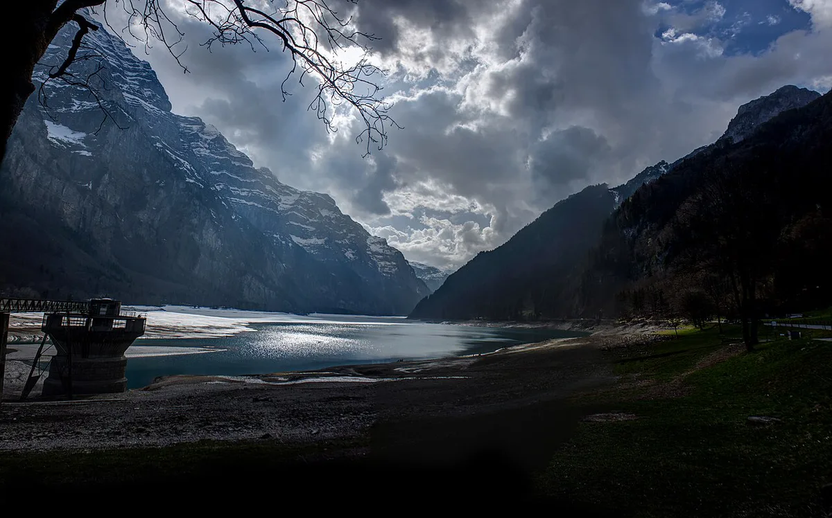
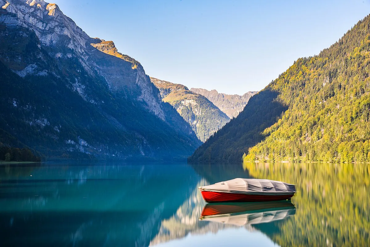
Klöntalersee fills the bottom of the Klöntal, the alpine valley that opens west of Glarus, the cantonal capital. The surface sits 848 m above sea level. A landslide blocked the valley to form the lake, and a dam later raised and regulated it. No lift or climb is needed to reach the shore, because the road and the bus line follow the valley floor.
- Location: Klöntal valley, canton Glarus, eastern Switzerland
- Elevation: 848 m (about 2,782 ft)
- Origin: natural lake from a landslide, regulated by a dam since 1908
- Season: bus route 504 and the lake trail run seasonally
- Nearest station: Glarus
How to get to Klöntalersee
Without a car, take the train to Glarus station and change to PostBus route 504. It enters the valley and stops at Rhodannenberg and Vorauen, the two shore stops that matter for a first visit. Some services continue to Plätz and Richisau, further up the valley. Route 504 is seasonal and its operating days vary, so read the Glarus–Klöntal timetable for both the outward and the return trip. A Zurich day trip works the same way: train to Glarus, then the bus. Look up the Zurich–Glarus connection in the rail timetable rather than guessing the journey time. By car, regulated parking exists at Vorauen and Güntlenau. Parking on the public road is not allowed. In heavy traffic the valley road can be restricted or closed, and some summer Sundays carry day-visitor restrictions.
Rhodannenberg or Vorauen: which stop?
The two stops are not interchangeable. Pick the one that matches your plan.
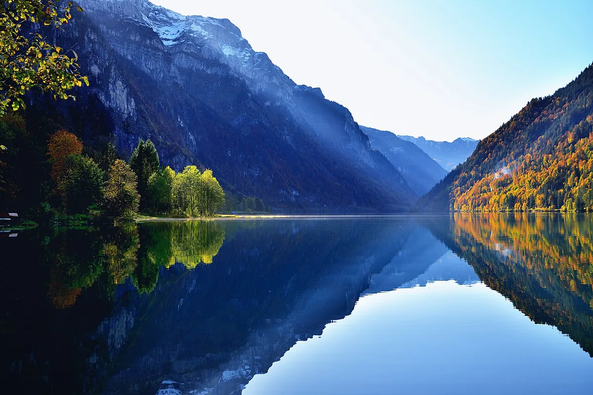
- Rhodannenberg: east end, beside the dam. It is the start and finish of the official loop, so you return to the same stop.
- Vorauen: west end, toward the inner Klöntal. Use it to start from the far side, to reach that end directly, or to make a shorter stop without the full route.
- Plätz and Richisau: served by some buses beyond Vorauen. They suit a longer valley day, not a first lake visit.
The Klöntalersee loop trail vs shorter options
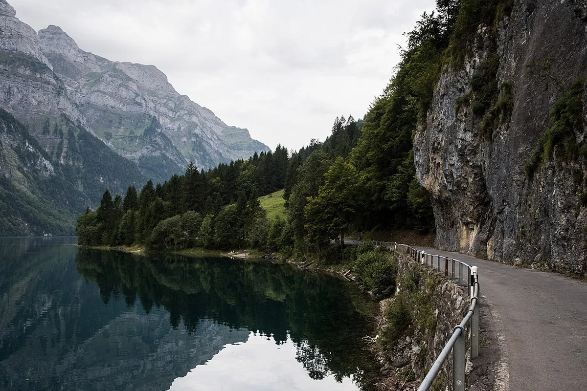
The official route is the Klöntalersee Mountain Hiking Trail. It covers 12.65 km (about 7.9 miles) in roughly 3 hours 30 minutes, with a 145 m (about 476 ft) elevation difference. That is a modest climb, yet it is still a mountain trail with ups and downs, not a flat lakeside stroll. From Rhodannenberg you walk beside the road toward Vorauen. The trail then passes Plätz and crosses the bridge over the Klön stream. The return runs on the far side through woods via Güntlenau, and the last metres cross the dam. No official figure exists for distance or duration of walks between other stops, so judge those on the map and the day's conditions.
| Option | Stop used | Effort | Bus dependency | Best for |
|---|---|---|---|---|
| Short shore stop | Rhodannenberg or Vorauen | Low; no official duration | Bus out and back | Travelers with a few hours and a bus window |
| One-way walk | Start at one stop, bus from another | Moderate; plan on the map | Return bus is part of the plan | Walkers who want less than the full loop |
| Full loop | Rhodannenberg | Mountain trail, about 3 h 30 min | Bus to and from Rhodannenberg | Hikers with a full day |
From natural lake to hydroelectric reservoir
The dam did not create this lake. A landslide blocked the valley and the water collected behind it. In 1908 an earth dam raised and regulated the level so the water could produce energy. Today Klöntalersee is both a natural lake and a regulated hydroelectric reservoir. Its outflow, the Löntsch, feeds the Kraftwerk am Löntsch power plant at Netstal, a village on the valley floor north of Glarus. The loop ends on top of that dam at Rhodannenberg.
When to go and what to check
Trail and bus seasons line up. The trail is closed in snow and may stay closed from autumn to spring. Actual availability still shifts with the weather, so look at the trail status shortly before you go. In summer the official trail map suggests a dip in the lake at the end. That does not make the shore a beach. There are no lifeguards and no guarantee of water quality or safety, so judge conditions yourself. Use this list before leaving Glarus:
- Last bus: find the final 504 departure from your return stop and plan to be there early.
- Timetable: confirm that 504 runs on your day.
- Trail status: confirm the loop is open.
- Valley road: if driving, check for restrictions on summer Sundays and in heavy traffic.
Where to stay: Glarus or Klöntal
Glarus has the train station and the wider range of services. It suits a base for several days in the canton, with the 504 used for one lake day. Staying in the Klöntal puts you near the shore, but food and transport depend on the season. Tents and campers may stay overnight only at the Güntlenau and Vorauen campgrounds, never in parking areas.
Mistakes to avoid
Most problems come from timing, not from the walk itself.
- Planning a one-way walk without a confirmed return bus.
- Assuming route 504 runs year-round.
- Starting the loop at Vorauen when the plan assumes the Rhodannenberg start.
- Parking on the public road instead of at Vorauen or Güntlenau.
- Treating the shore as a supervised swimming area.
Nearby Swiss lakes to combine or swap
If the bus window or the weather does not suit you, pick another lake. For a second lake on the same trip, see our Walensee guide. Zurich-based readers can compare Lake Zurich Travel Guide: Where to Go and How to Get Around and the town of Rapperswil. Other alpine options include Oeschinensee, Seealpsee, Lake Lungern Guide: Getting There, Things to Do, Tips and Blausee. Our full Swiss lakes list puts them side by side.
Notes for your next lake trip
Optional updates to our lake guides.
You might also like
Continue reading
More guides you'll find useful