Wastwater Guide: Walks, Parking & Planning Your Visit
Plan a trip to Wastwater in the Lake District: how to get there, walks, safety and how it compares with other lakes.
On this page
Last updated November 2026: Wastwater, also written Wast Water, is a lake in Wasdale in the western Lake District National Park, Cumbria. It is widely cited as England's deepest lake, and it suits drivers and hillwalkers better than anyone relying on buses. Despite the spelling, this is the lake and not wastewater, and our guide to the main Lake District lakes shows how it fits among the rest.
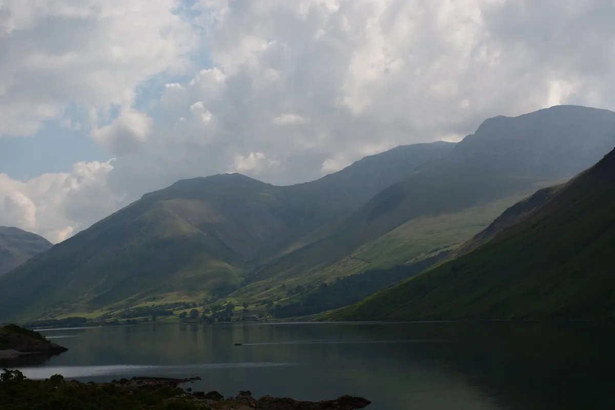
Featured image: generalising, CC BY-SA 2.0, via Flickr.
Wastwater at a glance
Wastwater lies in Wasdale, a valley whose head is ringed by some of the highest mountains in England. Scafell Pike, Great Gable and Lingmell all stand there. Water leaves the lake by the River Irt, which reaches the Irish Sea near Ravenglass. Published figures give a length of about 3.03 miles and a surface height of about 200 ft above sea level. For how it sits among other English lakes, see our overview of English lakes.
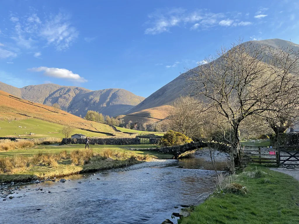
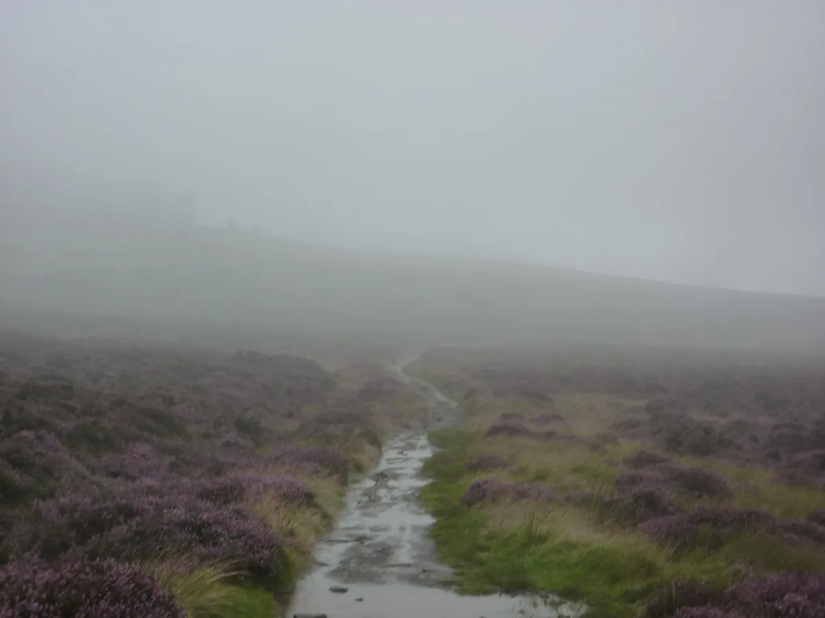
- Location: Wasdale, western Lake District National Park, Cumbria. The valley's named hamlets are Wasdale Head and Nether Wasdale.
- Size: about 3.03 miles long and 0.49 miles wide.
- Depth: 258 ft (79 m) in most published figures. Some sources give about 74 m, so treat the exact maximum as approximate.
- Ownership: the lake is owned by the National Trust, which publishes visitor details on its Wasdale visitor page.
- Protection: the lake and the Wasdale Screes are a Site of Special Scientific Interest and a Special Area of Conservation.
- Best for: drivers with 3 or more days in the area, and hillwalkers.
- Skip if: you rely on public transport or have only one day.
Best things to do at Wastwater
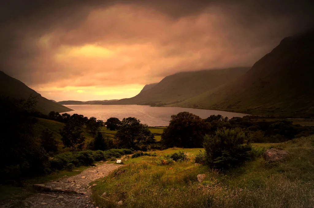
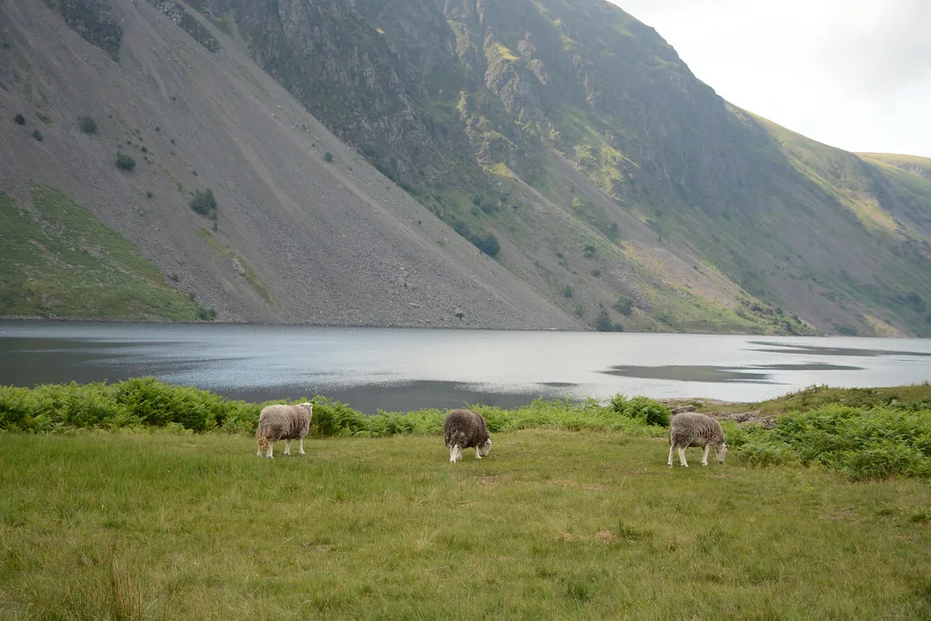
Start with the lakeshore viewpoint at the foot of the lake. Yewbarrow sits on the left, Great Gable in the centre and the Scafell range on the right. From there, a path runs the length of the lake through boulders and scree fall at the base of the fell-side. Above it, the Screes climb about 2,000 ft to Illgill Head and Whin Rigg. Sunrise and low evening light suit photography, though cloud decides the result.
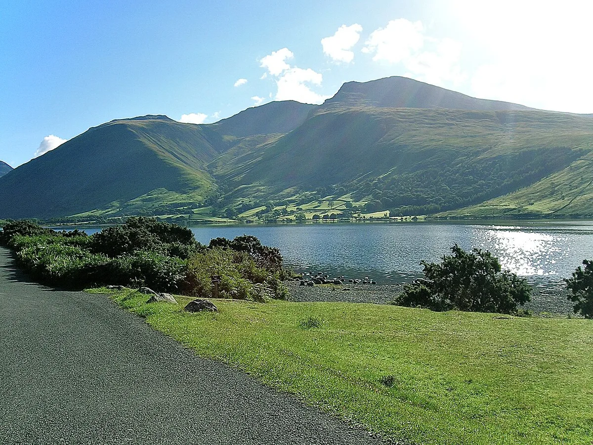
- Lakeshore viewpoint stop: the quickest way to see the Screes and the high fells together.
- Wasdale Screes shoreline path: a rough, rocky walk beneath Illgill Head and Whin Rigg.
- Walk toward Wasdale Head: views open up toward Great Gable, Yewbarrow and the Scafell range.
- Scafell Pike from Wasdale Head: a serious mountain objective, not a casual add-on to a lake visit.
How to plan your time at Wastwater
A stop at the lake can last 1 to 2 hours, half a day or a full day. The 3.03-mile shore makes the longer options possible. Weather decides how much of the scenery you actually see.
Keep a 1 to 2 hour shore stop brief, since divers have recorded about 4°C (39°F) in February and cold-water shock is a real danger.
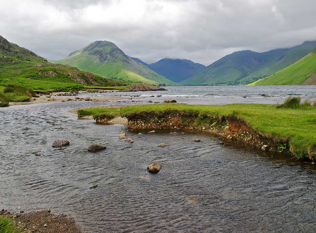
| Plan | Time | Effort | Weather dependence | Suits |
|---|---|---|---|---|
| Viewpoint stop | 1 to 2 hours | Low | High: views need lifted cloud | Drivers passing through Wasdale |
| Shore path walk | Half a day | Moderate, rough boulder ground | Medium | Walkers with sturdy footwear |
| Wasdale Head and fells | Full day | High | High: mountain weather changes fast | Hillwalkers aiming for the high fells |
- Verdict: worth including if you have a car and 3 or more days in the area, or you are a hillwalker.
- Consider skipping it if you rely on public transport or have only a single day.
Getting to Wastwater and getting around
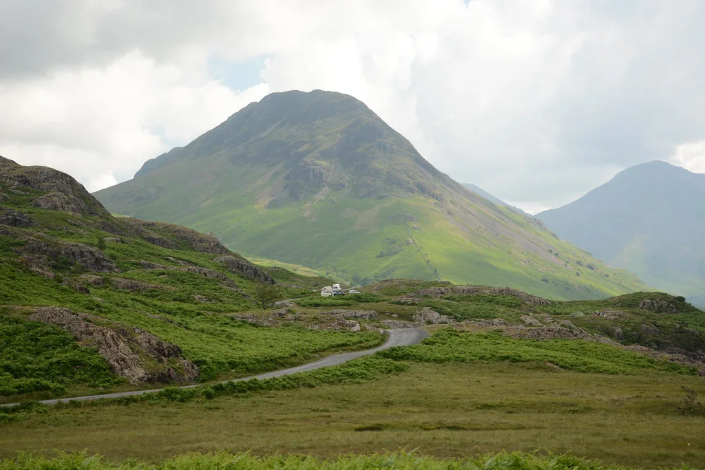
Wastwater is a drive-in destination. Roads into Wasdale are narrow, and summer weekends can bring congestion, so arrive early. There is no ferry on the lake. Public transport is very limited, so check current Cumbria bus timetables before building a plan around it. Check Avanti West Coast for main-line services into Cumbria, then plan the last stretch by car. Once there, the 3.03-mile lake is best explored on foot from a parked car. Windermere, Ullswater and Derwentwater are busier and easier to reach. For longer journeys, see our guide to Lake District trips from London.
Costs, parking and facilities
Parking charges, toilets and café options at Wastwater change, so none are quoted here. Current details are on the National Trust Wasdale page.
Where to stay and eat
Wasdale Head and Nether Wasdale are the valley's two named bases. Options include an inn or campsite in the valley, a hostel, or a day trip from the coast or another valley. Shops are scarce, so bring food and fuel with you.
Wastwater safety, weather and etiquette
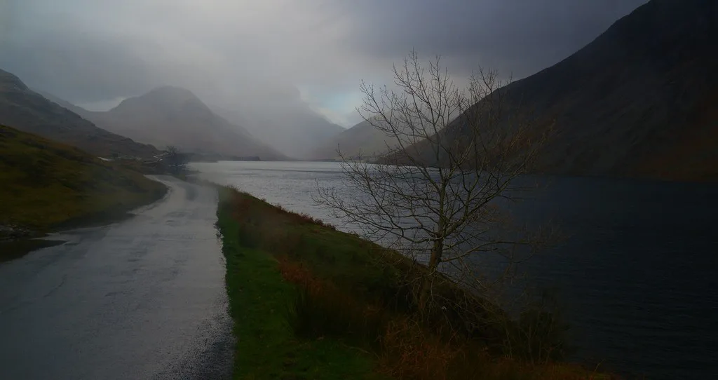
Water here is cold even in a good summer. Divers have recorded about 4°C (39°F) in February, and cold-water shock is a real danger for casual swimmers. Stay near the shore and in shallow water, and leave deep water alone. Diving is a specialist activity. Police divers work to a 50 m (160 ft) depth limit, and the National Park Authority once asked for an underwater novelty garden to be removed after several diver deaths. Scree shifts underfoot, so the 2,000 ft slopes of Illgill Head and Whin Rigg are no place for casual scrambling. Mountain weather changes fast around Scafell Pike and Great Gable. Because the lake and Screes are an SSSI and a Special Area of Conservation, keep to paths and take litter home.
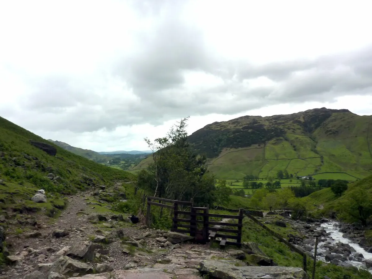
- Mistake: underestimating wild weather. Pack waterproofs and a map even for a short walk.
- Mistake: assuming phone signal or shops. Download directions and bring supplies.
- Mistake: mixing up the lake with Wastwater diving stories. Those describe specialist depths and gear, not a swimming guide.
Wastwater history and local lore
Wast Water is a reduced form of Wasdale Water. Wasdale itself comes from the Old Norse Vatnsdalr, meaning valley of the lake. On 9 September 2007, ITV viewers voted it Britain's Favourite View. Water has been pumped from the lake since World War II, first for the Royal Ordnance Factory at Drigg and now to supply the Sellafield site.
Wastwater compared with other Lake District lakes
Wasdale trades convenience for scale and quiet. Use this table to decide whether it deserves a slot next to easier lakes.
| Lake | Remoteness and crowds | Ease of access | Walks and scenery |
|---|---|---|---|
| Wastwater | Remote and quieter | Narrow roads, no ferry, limited buses | Screes shore path, Scafell Pike backdrop |
| Buttermere | Valley lake, busier than Wasdale in summer | Reached by road | Fell-framed lakeside walking |
| Derwentwater | Busier hub lake | Easier access, more services | Lakeside paths and wooded shores |
| Ullswater | Busier | Easier access, plus Ullswater steamers | Long lake with shoreline walks |
| Coniston Water: Things to Do, Getting There and Where to Stay | Moderate | Boat trips run by Coniston Launch | Lakeside walking and Brantwood |
| Grasmere | Busier village setting | Easier access | Short, gentle walks |
| Rydal Water: Walks, Access & How to Visit | Smaller lake, lighter use | Easier access | Short, gentle walks |
| Bassenthwaite Lake Guide: Things to Do and Access | Quieter | Easier access | Wildlife focus, including the Lake District Osprey Project |
| Tarn Hows Walk: Route, Parking, Access and Tips | Popular short stop | Easier access | Short, easy circular walking |
Frequently Asked Questions
Is Wastwater worth visiting?
Yes, if you have a car and 3 or more days in the Lake District, or you hillwalk. Skip it if you depend on public transport or have a single day, since access is long and the roads are narrow.
How do you pronounce Wastwater?
Say it as WOST-waw-ter. Wast Water is a short form of Wasdale Water.
Notes for your next lake trip
Optional updates to our lake guides.
You might also like
Continue reading
More guides you'll find useful