
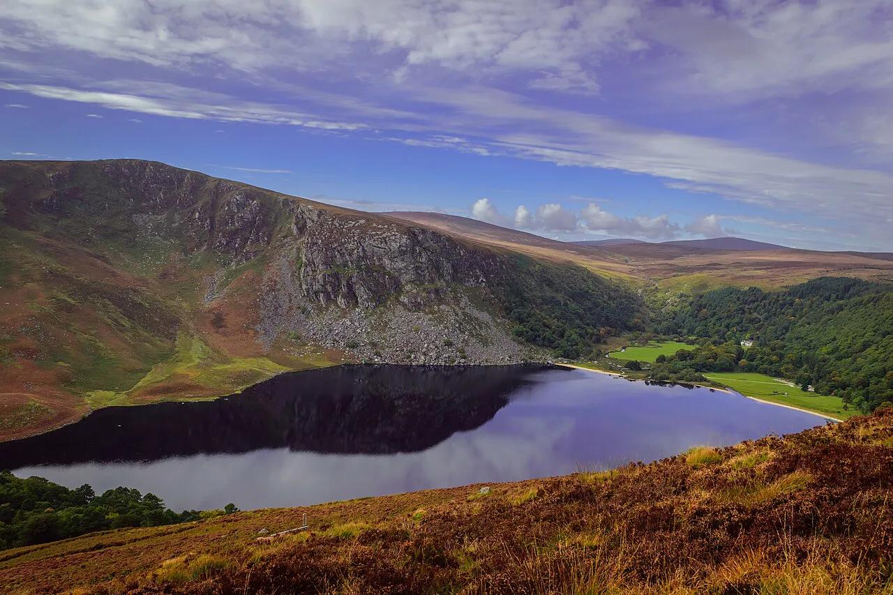
Lough Tay (Guinness Lake): Where to See It & What to Know
See Lough Tay, Wicklow's Guinness Lake, from the best viewpoints. Learn why you can't reach the shore, how to get there and how long to stay.
On this page
Last updated November 2026: Lough Tay Guinness Lake is a small lake in the Wicklow Mountains, and you see it from above, not from the shore. Its water and beach sit on private land, so the classic view comes from the Military Road. Our guide to 12 Best Lakes in Ireland: Loughs by Trip Type covers lakes with public shorelines, while this page shows where to stand, what to skip and how long to allow.
Featured image: kilgarron, CC BY 2.0, via Wikimedia Commons.
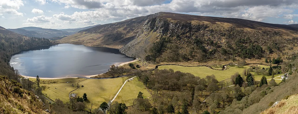
Lough Tay Guinness Lake: the quick answer
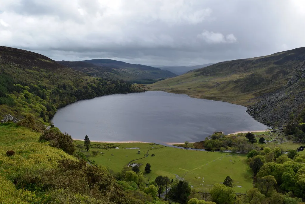
Lough Tay (Irish: Loch Té) lies in County Wicklow between Djouce, at 725 m (2,379 ft), and Luggala, at 595 m (1,952 ft). Luggala's east-facing granite cliffs rise directly behind the water. The lake covers about 48.1 ha (119 acres) and drops to 35 m (115 ft) at its deepest point. Visit Wicklow names the Military Road, at the junction with the Wicklow Way, as the best viewing point. A roadside look takes minutes, and a walk can fill half a day.
Why it is called the Guinness Lake
Two explanations circulate, and both are local stories rather than settled fact. One ties the nickname to the former Guinness-family estate at Luggala, which owns the lake. Another says the family imported white sand for the beach on the northern shore. Add the dark peaty water, and the pale sand at the top makes the lake look like a pint of Guinness. The name Lough Tay is older than the nickname. It was recorded as "Logh Tea" in the 1650s Down Survey, long before the Guinness link.
Can you visit or swim in Lough Tay?
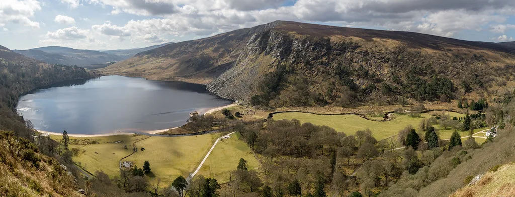
No. Lough Tay is on private property and cannot be visited, as Visit Wicklow states on its listing. The entire lake belongs to the Guinness estate at Luggala, and public access is limited. Rules for the surrounding hills are published by Wicklow Mountains National Park. If you want water you can walk beside, Killarney's lakes are a better fit. Respect the boundary with these habits:
- Stay on the public road and the marked trail.
- Do not climb fences or walk toward the shore.
- Skip the drone unless you have confirmed the current rules.
- Follow every sign and close any gate you open.
- Take photographs and leave nothing behind.
Best viewpoints compared
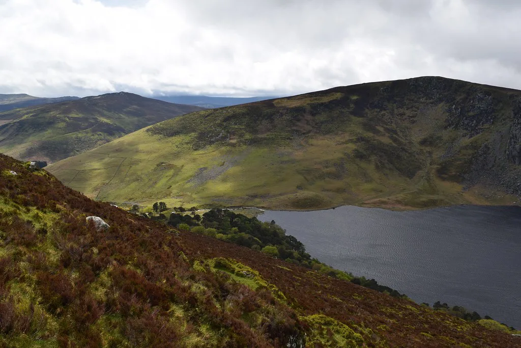
Three options give a view of the lake, and each suits a different day. The boardwalked first section of the Djouce path leads to the J.B. Malone memorial stone, which is part of the 131 km Wicklow Way. The longer loop adds Djouce summit at 725 m. Pick by effort and weather, since cloud can erase the view at every height.
| Viewpoint | Effort | Time | Best for |
|---|---|---|---|
| Roadside car parks on the R759 (Ballinastoe Wood, J.B. Malone) | Low | Minutes | A quick stop on a Wicklow drive |
| Boardwalk climb to the J.B. Malone memorial stone | Moderate | Short climb; add photo time | A higher view with sturdy shoes |
| Djouce and War Hill loop | Difficult; about 660 m of ascent | 14 km, 4.5 to 5.5 hours | Experienced hill walkers |
How to get there
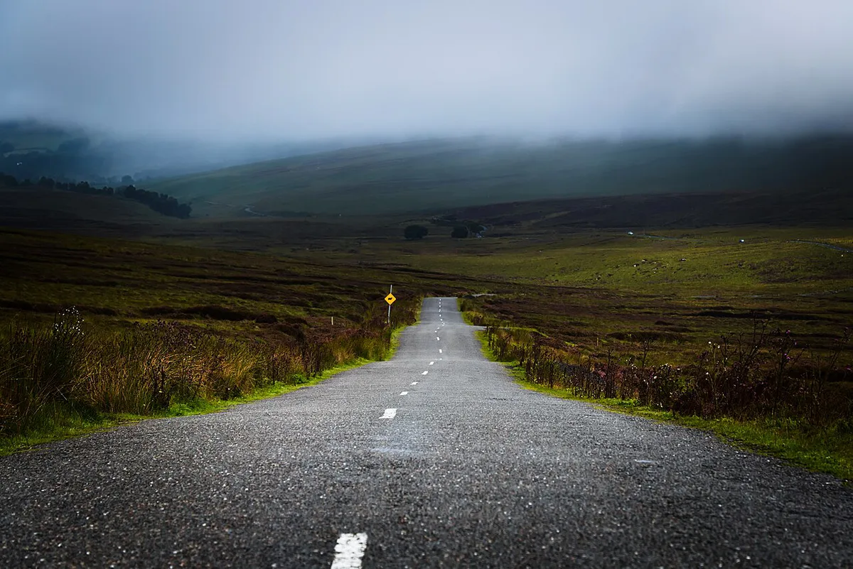
Driving is the practical option. Lough Tay Car Park sits along the R759 and can be reached via the Sally Gap or the R755 Kilmacanoge–Roundwood road. Visit Wicklow gives the lake's coordinates as 53.107461, -6.256886. No practical public-transport route is confirmed, so check Discover Ireland's Wicklow pages for organised tours. Parking charges are not published in the sources we found, so look for signs on arrival. Park only in marked bays, never on the road edge.
When to go and what to bring
Mountain weather changes fast, and low cloud can hide the lake completely. Luggala's cliffs face east, so morning light is the likelier time for the cliff face to catch the sun. Build a fallback into your Wicklow day in case the view is lost. For hill emergencies, dial 999 or 112 and ask for Mountain Rescue. Pack for the hill, not the car park:
- Layers and a waterproof jacket.
- Waterproof hiking boots, not city shoes.
- A fully charged phone, water and snacks.
- A word left with someone about your route and return time.
- No valuables visible inside the parked car.
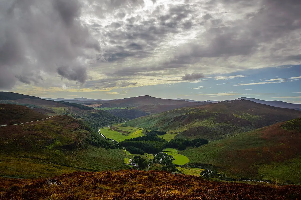
Pick your visit: 30 minutes, 2 hours or a full day
Match the plan to your time and the forecast.
- 30 minutes: park at the R759 car park and take the roadside view.
- Up to 2 hours: climb the first boardwalked section to the J.B. Malone memorial stone and back.
- Full day: walk the 14 km Djouce and War Hill loop, which takes 4.5 to 5.5 hours.
- Add a stop: Glendalough's 6th-century monastic site, Powerscourt Gardens or Mount Usher are all in County Wicklow.
- Food: Byrne and Woods Restaurant in Roundwood suits hungry walkers, and a table is best pre-booked.
Mistakes to avoid
Most disappointments here come from expectations set by photographs. Avoid these:
- Expecting beach access. The white sand is private and cannot be reached.
- Wearing city shoes on the boardwalk and open hillside.
- Skipping the weather check on a mountain road.
- Parking on the road edge instead of in a car park.
- Confusing Lough Tay with Loch Tay in Scotland.
Frequently Asked Questions
What was filmed in Wicklow Mountains?
Lough Tay is the setting for the fictional village of Kattegat in the Vikings TV series. It also features in the films Zardoz (1974) and Excalibur (1981). More recently it appears in the 2024 Netflix film Irish Wish.
Notes for your next lake trip
Optional updates to our lake guides.
You might also like

Continue reading
More guides you'll find useful