Loch Ness Map: Where Everything Is and How to Get Around
Where Loch Ness sits in the Highlands, which shore to pick, key stops from Inverness to Fort Augustus, and how to plan a route.
On this page
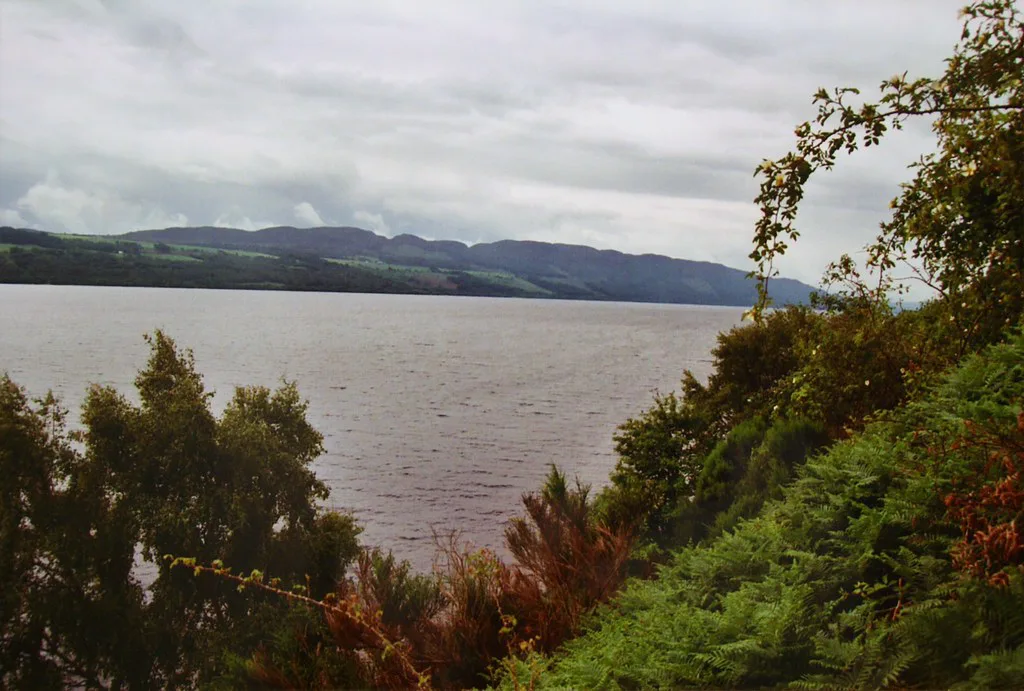
Last updated November 2026: this Loch Ness map guide describes the loch in words first, so you can place every stop before you open a map app. Loch Ness is a long, narrow loch that lies in a line through the Great Glen in the Scottish Highlands. Inverness and the River Ness sit at the north end, and Fort Augustus sits at the south end.
Featured image: Suicasmo, CC BY-SA 4.0, via Wikimedia Commons.
Loch Ness map at a glance
Picture a single straight ribbon of water running north to south. Roads follow both shores, so you can drive a loop with the loch always on one side. Our editorial reading of the geography gives the order below, from the north end to the south end. Check the exact placement of each stop on Ordnance Survey or OpenStreetMap before you set off.
- Inverness: the city at the north end, where the River Ness flows out of the loch.
- Dores: a village on the east shore near the north end, covered in our Dores beach guide.
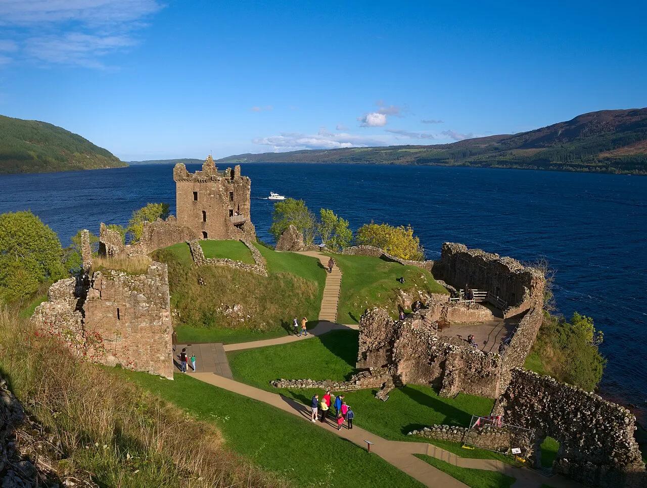
- Drumnadrochit and Urquhart Castle: the main visitor cluster on the west shore.
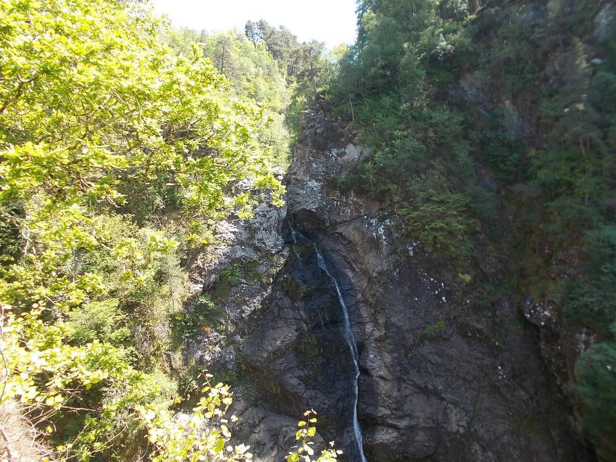
- Foyers and the Falls of Foyers: a stop on the south and east side of the loch.
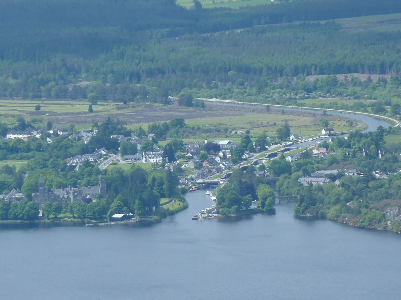
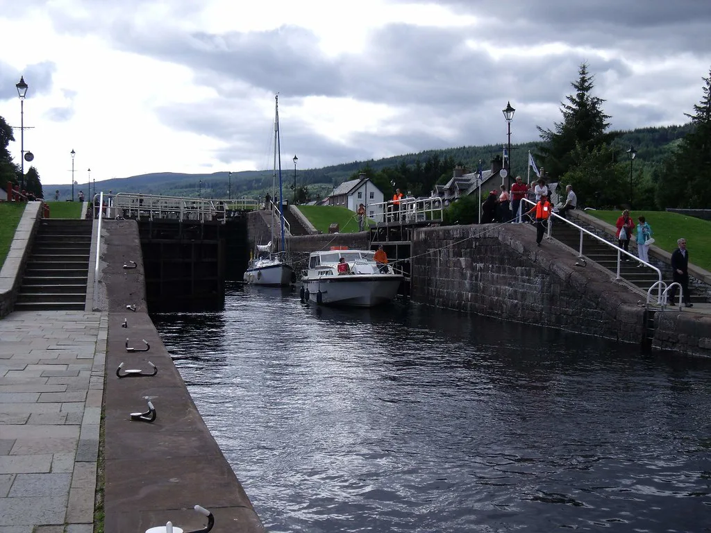
- Fort Augustus: the village at the south end, linked to the Caledonian Canal.
Where Loch Ness is
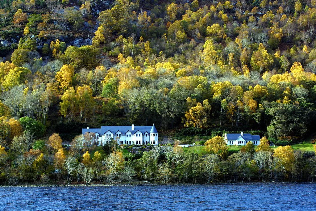
Loch Ness sits in the Scottish Highlands, in the Great Glen, with Inverness as the nearest city. For a fuller answer, read where Loch Ness is located. Our Loch Ness hub then gives the wider picture. Once you have the layout, things to do around the loch helps you choose stops.
Key places around the loch
Use this table to pick a base and a few stops. Prices and hours for each place live on its own page.
| Place | Where on the loch | Why go | Read next |
|---|---|---|---|
| Inverness | North end | City base with the widest choice of places to stay and eat | Loch Ness hub |
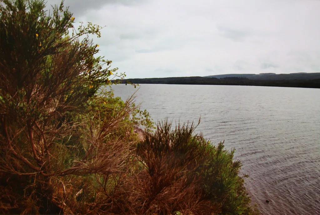
| Dores | East shore, north end | Quiet shoreline stop for views down the loch | Dores Beach, Loch Ness: Parking, Pub & Visitor Tips |
| Drumnadrochit | West shore | Village base near the main sights | Drumnadrochit |
| Urquhart Castle | West shore, Urquhart Bay | Castle ruins beside the water | Urquhart Castle: Tickets, Hours & How to Visit |
| Foyers | South and east shore | Waterfall walk and a quieter side of the loch | Falls of Foyers: Walk, Parking & What to Expect |
| Fort Augustus | South end | Canal locks and a village base | Fort Augustus Guide: Locks, Cruises and Where to Stay |
North and west shore vs south and east shore
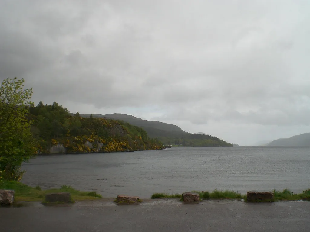
The A82 runs along the west and north shore from Inverness through Drumnadrochit and Invermoriston to Fort Augustus. East of the loch, the B862 and B852 run via Dores and Foyers. Roads on the east side are minor roads, so expect a slower drive than on the A82. Confirm current road conditions locally.
- North and west shore: the main road, the busiest sights, and the easiest stops for a first visit. Urquhart Castle and Drumnadrochit are both here.
- South and east shore: a slower, quieter drive via Dores and Foyers. It suits travellers who want viewpoints and a waterfall over ticketed attractions.
- Best choice for one drive: use the A82 side if time is short, and add Dores or Foyers if you have a full day.
Driving, loop and public transport
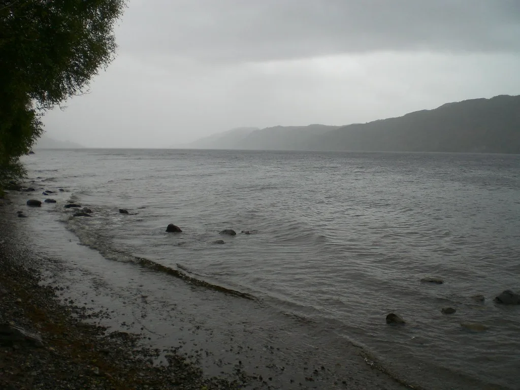
A loop by car lets you see both shores, but it costs a full day once you add stops, and narrow roads slow you down. A one-way drive, ending in Fort Augustus or Inverness, saves time if someone can collect you or you have a bus plan. A guided tour removes the driving altogether. From the capital, see Loch Ness from Edinburgh: Is the Day Trip Worth It? before you commit to a loop. For buses and rail, check VisitScotland and the local operator timetables, because a map cannot show service patterns.
Allow extra time on the B862 and B852, since minor east-side roads run slower than the A82 on the west shore. That gap adds up on a full loop.
- Skip the full loop on a short day trip from Edinburgh. Pick Urquhart Castle and Drumnadrochit instead.
- Skip shore-hopping if you rely on public transport. Base yourself in one village.
- Skip walking the whole shoreline. The loch is not walkable end to end, so choose short sections.
Where people report Nessie sightings
The Loch Ness Story sightings heatmap says reports cluster around Urquhart Bay, Dores and Foyers. Treat that as a claim from one site, not as evidence. Reports tend to cluster where people can see the water, such as viewpoints, the castle area and busy roads. A heatmap shows where people looked, not where anything lives. For the lore, read our Loch Ness Monster guide.
Boat, swim and visitor-centre stops
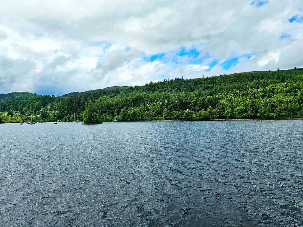
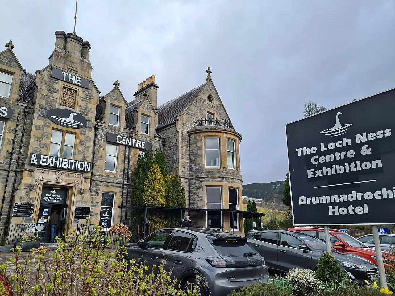
Cruises give you a view of the loch from the water. Start with our Loch Ness boat tour guide, then compare operators such as Jacobite Cruises. For exhibits, see the Loch Ness Centre: Is It Worth Visiting? Tickets & Tips. For castle opening details, use the Historic Environment Scotland page. Read Loch Ness Swimming: Is It Safe? Where to Swim Instead before you get in the water, and take cold-water advice from Water Safety Scotland.
Map mistakes to avoid
Most planning errors come from reading the map as if distances were road times. Check each leg on a routing app first.
- Trusting straight-line distances. Road routes along the shore are longer and slower.
- Underestimating drive time on narrow roads, especially on the east side.
- Assuming you can walk or cycle the full loch in one go. Plan short sections.
- Relying on live data. Download an offline map before you leave Inverness, since signal can be patchy in the Highlands.
Frequently Asked Questions
What is special about Loch Ness?
Loch Ness is a long, narrow loch in the Great Glen, best known for claimed sightings of the Loch Ness Monster. For size and depth, see how deep Loch Ness goes.
Is it better to stay in Inverness or Loch Ness?
Inverness suits you if you want a city base with more choice. Drumnadrochit or Fort Augustus put you beside the loch and cut down on driving.
Can you swim in Loch Ness lake?
People do swim, but the water is cold. Read our swimming guide and follow Water Safety Scotland advice before you go in.
Notes for your next lake trip
Optional updates to our lake guides.
You might also like
Continue reading
More guides you'll find useful