Lake Sils Guide: Walks, Winter & Getting There
Plan Lake Sils in the Engadin: which walk to choose, best season, where to swim, how to get there and back, and where to stay.
On this page
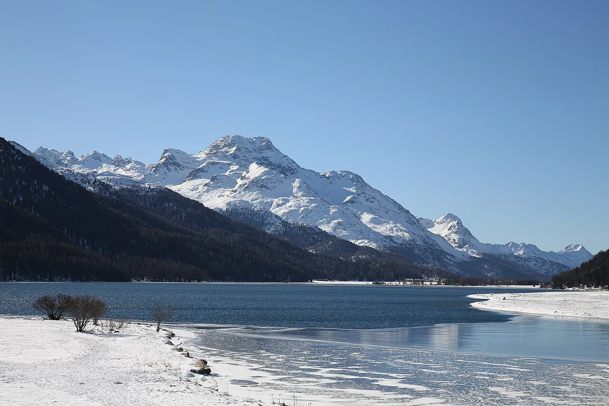
Last updated November 2026: Lake Sils (Silsersee) is the largest lake in the Upper Engadin, at 1,797 m in Graubünden. Its shoreline routes suit a half day or a full day, depending on the walk you pick. Use this guide to choose a route, time your return and decide where to sleep, then browse the wider Swiss lakes guide for other options.
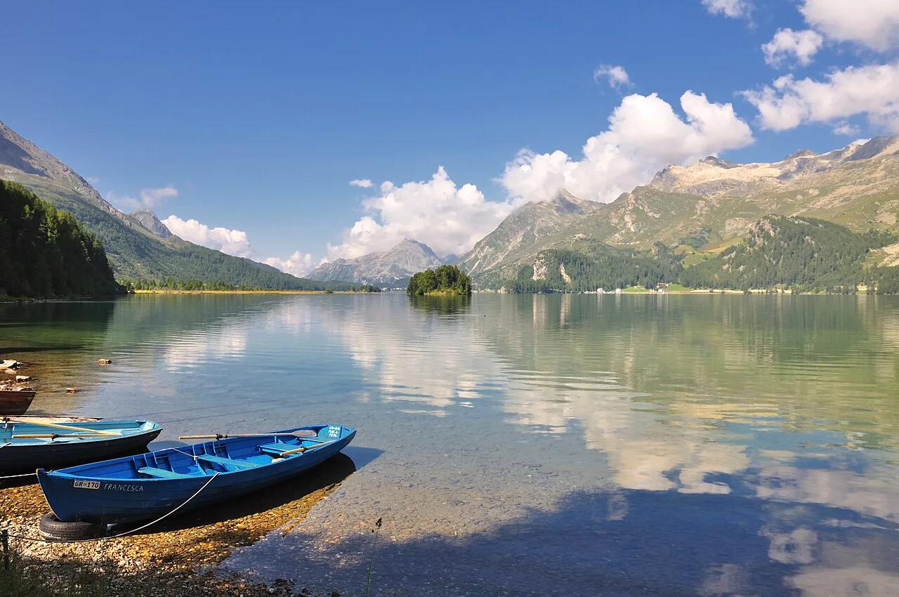
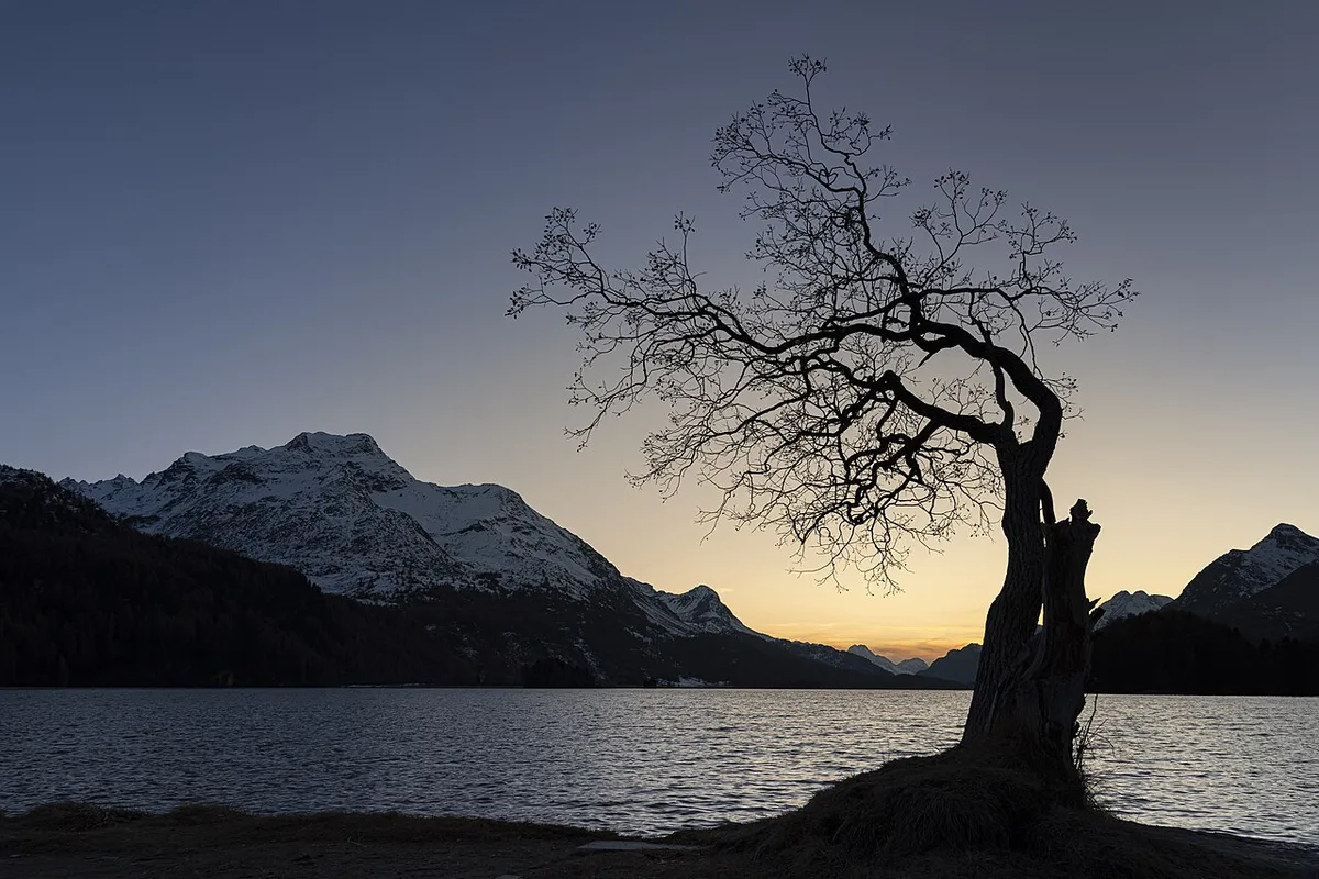
Featured image: Hansueli Krapf This file was uploaded with Commonist., CC BY-SA 3.0, via Wikimedia Commons.
Lake Sils at a Glance
Lake Sils sits at 1,797 m above sea level and covers 4.1 km². Running about 5.0 km end to end, it reaches roughly 70 m deep. Shoreline villages include Sils Maria, Sils Baselgia and Maloja. Silvaplana and Surlej lie on the Corvatsch side, beside neighbouring Lake Silvaplana. Local access notes and behaviour rules sit on the Engadin tourism site.
- Elevation: 1,797 m above sea level
- Surface area: 4.1 km²
- Length: about 5.0 km, with a maximum depth of about 70 m
- Canton and district: Graubünden, Maloja
- Protection: a landscape of national importance (BLN), Oberengadiner Seenlandschaft und Berninagruppe
- Nearest big peak: Piz Lagrev (3,164 m), 3.3 km to the north
Best Things to Do at Lake Sils
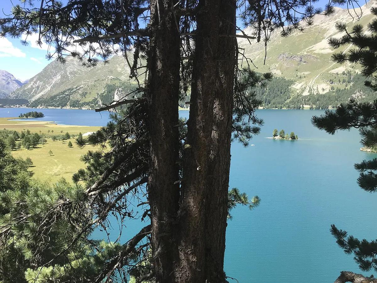
Begin with the shoreline itself. Between Sils and Maloja, the valley road runs along the northern shore. Chastè peninsula is a protected plant area, about a 20-minute walk from Sils. Its south-side bays are the best places to swim and picnic. Facilities there include fire pits, picnic areas, benches and a public composting toilet. Stay on marked paths, and expect cold water at 1,797 m.

- Lakeside walk: pick a section from the route table below, from 4.8 km to a full 13.6 km circuit.
- Chastè peninsula: a short woodland walk from Sils with quiet bays, a grill grate and firewood on site.
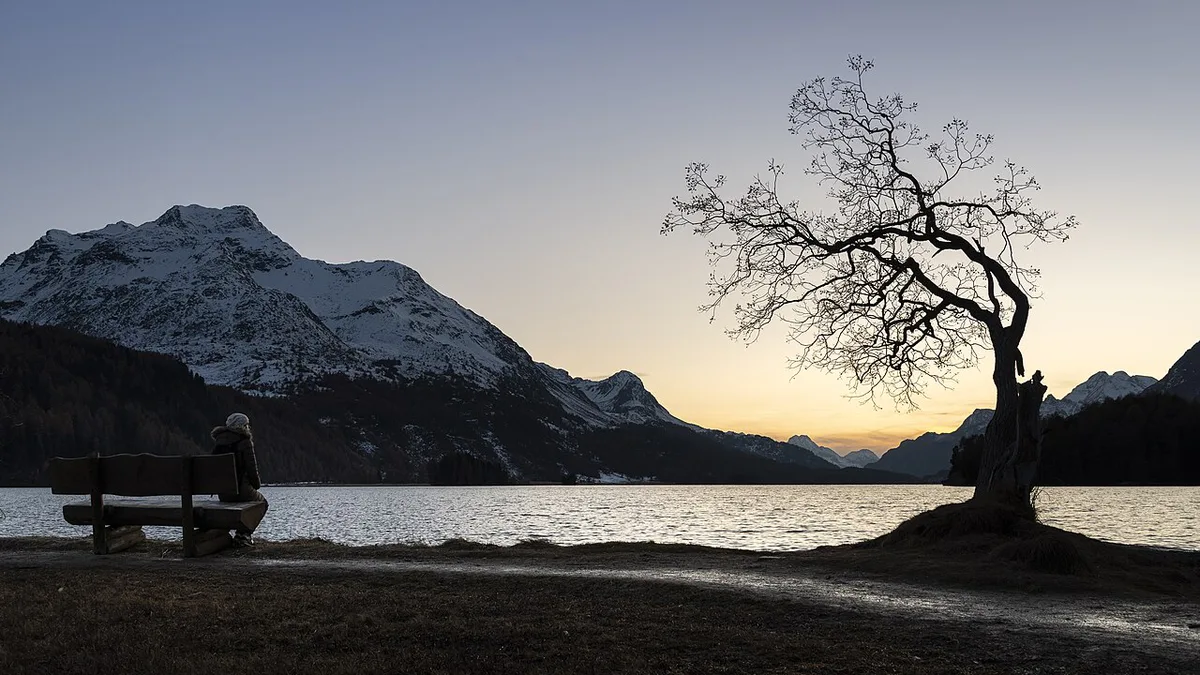
- Sunrise and sunset photography: mornings are often calmest, before afternoon wind ruffles the surface.
- Lake boat: scheduled service since 1907, with the nearest stop at Plaun da Lej, 700 m from the route.
- Muottas Muragl and Corvatsch: lift-served viewpoints, best treated as separate add-on trips.
- Winter walks: frozen-lake and cross-country options, covered in the winter section below.
Choosing a Lake Sils Walk: Routes Compared
Grades use the Swiss T-scale, where T1 is easiest. Sources give different numbers for similar loops, so treat times as guides. Only the 13.6 km route from Maloja is a true full circuit. Both Piz Grevasalvas routes are mountain hikes, not lake walks.
| Route | Distance | Ascent | Time | Type and grade | Best for |
|---|---|---|---|---|---|
| Maloja Pass to Maloja shoreline | 4.8 km | 95 m | 1 h 35 min | Point to point | Easy first look at the lake |
| Round Lake Sils from Maloja | 13.6 km | 447 m | 4 h 35 min | Round walk, T1–T3 | The true full loop |
| Silsersee from Sils Maria | 15.8 km | 386 m | 5 h 10 min | Round walk, T2–T3 | A full day starting in the village |
| Maloja Pass to St. Moritz | 20.3 km | 373 m | 6 h 35 min | Point to point, T2–T3 | Strong walkers with a bus home |
| Sils to Maloja Pass via Lägh dal Lunghin | 14.8 km | 922 m | 5 h 45 min | Point to point, T2–T3 | Fit hikers wanting height |
| Piz Grevasalvas from Plaun da Lej | 10.5 km | 822 m | 4 h 20 min | Round walk, T3–T4 | Mountain hikers only |
| Piz Grevasalvas from Sils Baselgia | 15.7 km | 1,186 m | 6 h 40 min | There and back, T3–T4 | Mountain hikers only |
How to Plan Your Time
Choose by return logistics before distance. Any walk beyond 13 km needs a bus or boat fallback. Planning a wider Graubünden trip? Add Caumasee to the list. Crestasee is another option.
- Two hours: walk the Chastè peninsula, about 20 minutes from Sils, then sit by the bays. Trade-off: no real distance covered.
- Half day: the 4.8 km Maloja Pass to Maloja route takes about 1 h 35 min. Trade-off: you need transport back to your start.
- Full day: the 13.6 km loop from Maloja takes about 4 h 35 min. Trade-off: a long day with limited exit points.
- Two nights: base in Sils Maria, walk the 15.8 km round route on day one, and save day two for Chastè and the boat. Trade-off: costs more than a day trip.
Getting to Lake Sils and Getting Back
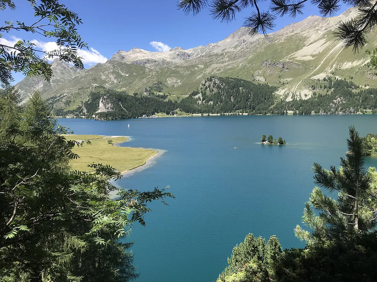
Reach the Engadin by rail from Zurich via Chur and the Albula line. Scenic trains take about 3 hours to St. Moritz, so check the current timetable. From there, PostBus and the Engadin bus network serve the valley road. Last return is the real risk. Know the last bus from Maloja before any one-way walk. The scheduled lake boat has run since 1907, and its nearest stop is Plaun da Lej, 700 m from the route. Operator, season and fares change, so confirm them before relying on it. Drivers can follow the valley road along the northern shore. Arriving from the lowlands? Lake Zurich Travel Guide: Where to Go and How to Get Around makes a useful contrast before the climb.
Costs and Tickets for Lake Sils
Walking the shoreline costs nothing. Spending comes from transport, parking, lodging and mountain lifts. Fares change by season, so costs here are relative levels, checked November 2026. Corvatsch listed 2026 operation from June 20 to October 16. Muottas Muragl listed June 6 to October 25. Both seasons have ended, so November plans need current operating dates from the lift operators.
- Lakeside walking and the Chastè bays: free
- Local bus along the valley: low
- Lake boat: low to mid
- Corvatsch or Muottas Muragl lift: mid to high
- Lodging in Sils Maria or Maloja: mid to high
- Lodging in St. Moritz: highest
Seasons and Climate at Lake Sils
Climate normals for 1991–2020 put January at −13 to −1 °C and July at 6 to 17 °C. August is the wettest month at 133 mm. Nights stay cold even in summer, and wind can build in the afternoon. Mornings are usually calmest for reflections.
| Season | What to expect | Verdict |
|---|---|---|
| June to August | Walking and swimming weather; July runs 6 to 17 °C | Best all-round window |
| Late September to October | Gold larches and glassy mornings; October runs −1 to 9 °C | Best for photography |
| November | −6 to 3 °C, quiet, and lifts and services may be closed | Quiet but limited |
| Late December to mid-January | Lake typically frozen; January runs −13 to −1 °C | Best for winter walks |
Winter at Lake Sils
Lake Sils typically freezes between late December and mid-January. In good conditions, groomed cross-country routes trace the frozen surface. Ice thickness varies, and early-season ice can be dangerous. Local police have warned people to stay off when lakes were only partly frozen. Check local notices with Sils Tourist Information, Via da Marias 38, before stepping on the ice. December runs −10 to 0 °C, so pack windproof layers. Rare black ice, which forms without snowfall, draws skaters.
Where to Stay: Sils Maria, Maloja, Silvaplana or St. Moritz
Distance from the walking route differs by base. Sils im Engadin sits 2.7 km away, Maloja 3.4 km and Surlej 7.6 km. Pick the base that matches your plan, not the biggest name. For a resort base, see Lake St. Moritz. Its bus link reaches the lake villages.
| Base | Best for | Trade-off |
|---|---|---|
| Sils Maria | Walking from the door, quieter evenings, the Nietzsche angle | Fewer lively options |
| Maloja | Southwest end of the lake, trailhead for the loop, the pass | Remote, with limited choice |
| Silvaplana and Surlej | Windsports and the Corvatsch side | Further from Chastè and the loop start |
| St. Moritz | Largest choice of lodging and dining | Highest cost; you rely on the bus |
Who Should Skip It, and Mistakes to Avoid
Skip Lake Sils if you want a lively resort. Also skip long walks without a way back after the last bus. A short visit suits the 4.8 km Maloja Pass to Maloja route better.
- Starting a 13 to 20 km walk without checking the last bus or boat.
- Treating a T3 to T5 summit hike as a lakeside stroll.
- Stepping onto early-season ice.
- Leaving the marked path on the protected Chastè peninsula.
- Expecting warm water: the lake sits at 1,797 m and stays cold.
Nature and Nietzsche Notes
Possible sightings include alpine ibex, golden eagle, alpine marmot and European otter. Golden eagles are seen mainly from May to September. Friedrich Nietzsche first came to the lake in July 1881, a link that draws literary visitors to Sils Maria.
Notes for your next lake trip
Optional updates to our lake guides.
You might also like
Continue reading
More guides you'll find useful