Lake Garda Map: Towns, Shores & How to Get Around
A Lake Garda map by shore, with each town's setting, ferry and rail links, and tips on where to base yourself.
On this page
Last updated November 2026. This Lake Garda map guide explains where the lake sits in northern Italy, shared by Lombardy, Veneto and Trentino-Alto Adige. Use the map pins with the shore-by-shore table below to choose a base and plan crossings. For the wider overview, start at our Lake Garda guide.
Featured image: Wittylama, CC BY-SA 4.0, via Wikimedia Commons.
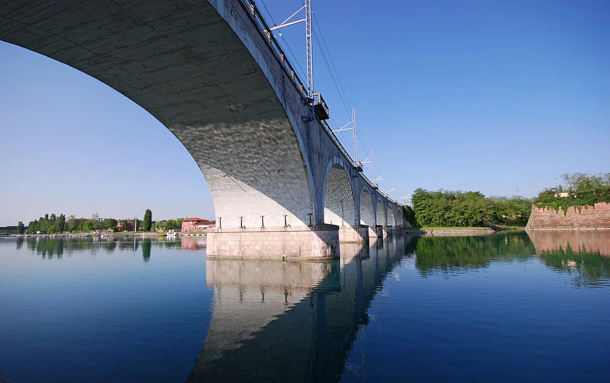
Lake Garda Map at a Glance
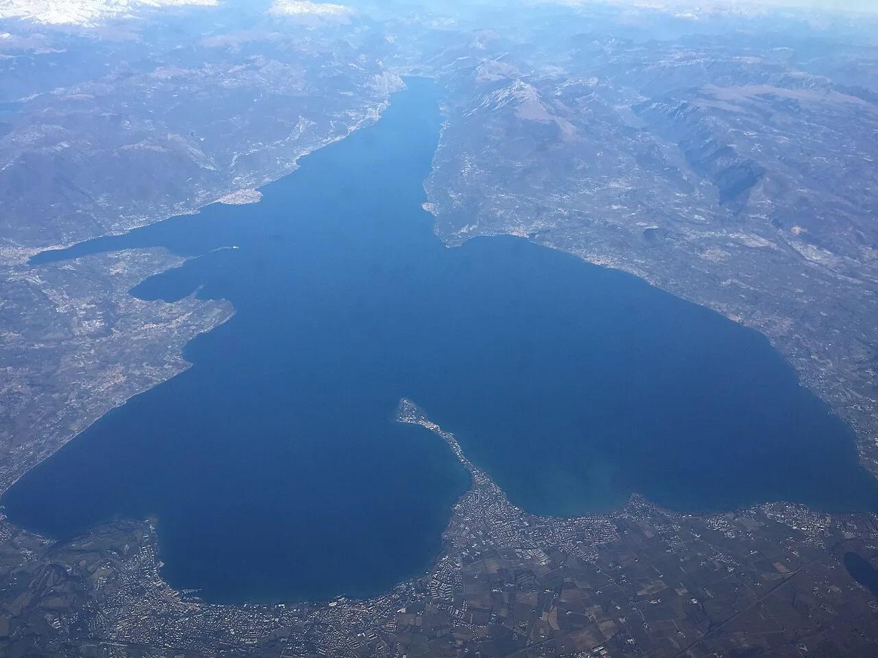
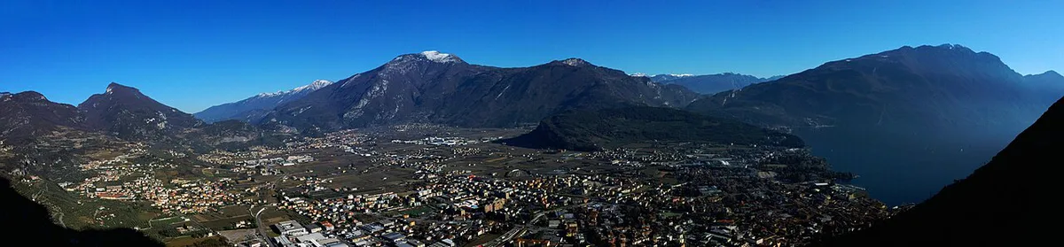
Lake Garda runs roughly north to south. Its northern end is narrow and fjord-like, squeezed between mountains. Riva del Garda, Torbole and Limone sit in this part. Further south the lake opens into a wide basin with flatter shores. Sirmione, Peschiera del Garda and Desenzano del Garda line that southern basin. A western Riviera runs along the Lombardy side, and Gardone Riviera is one of its best-known stops. Three regions share the shoreline: Lombardy, Veneto and Trentino-Alto Adige. Official listings for each town are on the Visit Garda tourism site. Treat the lake as a long route rather than a pond, because towns at opposite ends are a real journey apart.
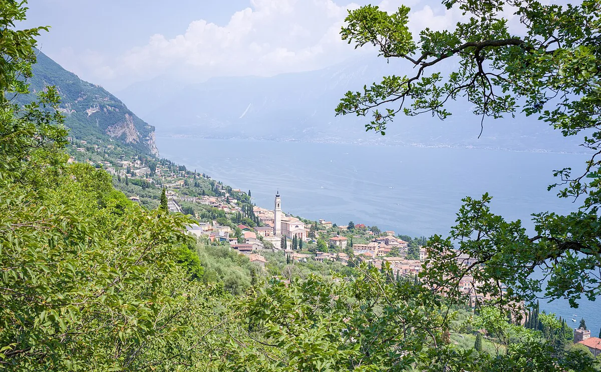
Lake Garda Towns by Shore
Use this table to place each pin on the map. It groups towns by shore so you can match a base to your day trips. For a full list of sights, see our guide to 8 Best Things to Do in Lake Garda by Shore.
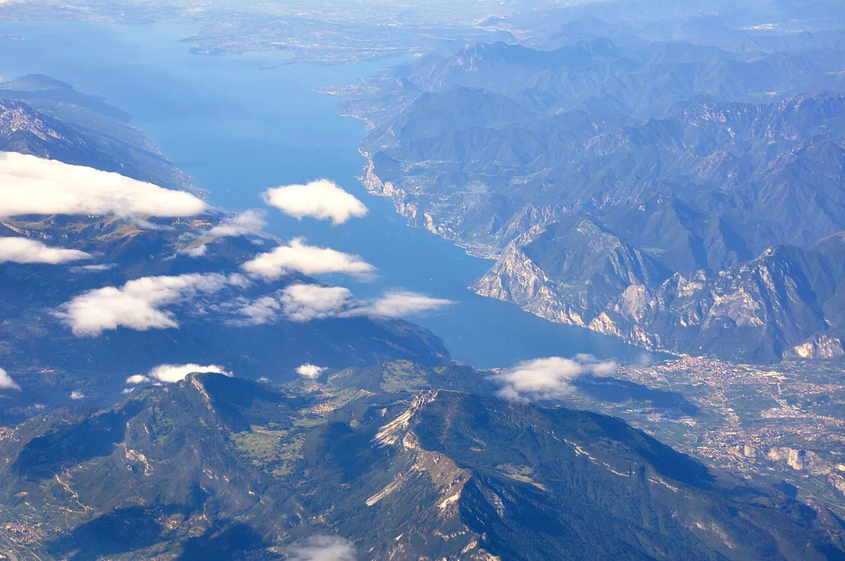
| Shore | Town | Best for |
|---|---|---|
| Southern | Sirmione | Short visits and the peninsula setting |
| Southern | Desenzano del Garda | Rail access and a working town feel |
| Southern | Peschiera del Garda | Flat terrain and an easy start from Verona |
| Eastern | Lazise | Relaxed lakeside evenings |
| Eastern | Bardolino | Wine-led stays |
| Eastern | Malcesine | Castle and Monte Baldo access |
| Northern end | Riva del Garda | Mountains, wind and active days |
| Western | Limone sul Garda | Steep-hillside scenery |
| Western | Salò | Quieter Riviera stays |
| Western | Gardone Riviera | Gardens and a major historic estate |
Which Part of the Lake Should You Base Yourself In?
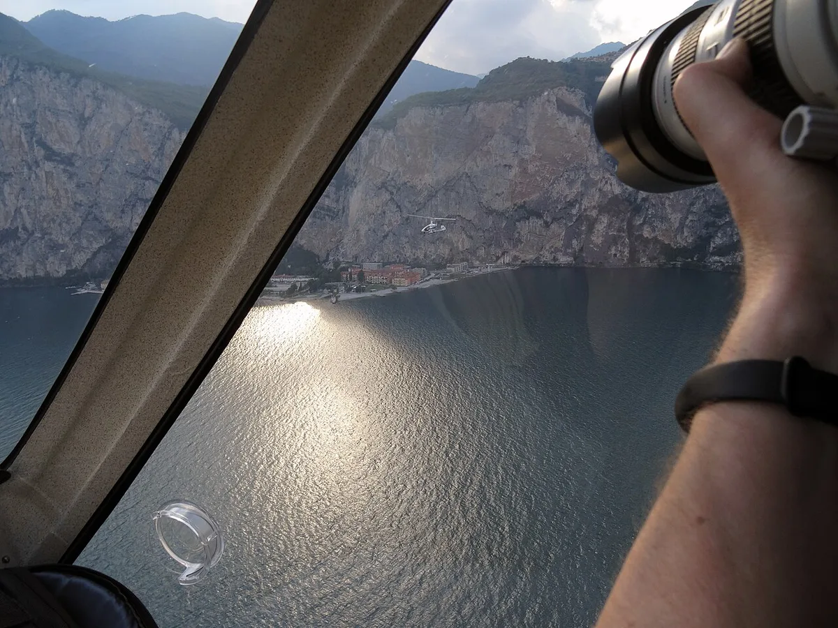
Start with how you will travel. Without a car, pick a town with a rail or ferry link, such as Desenzano del Garda on the southern shore. With a car, the Riviera and eastern shore towns are easier to combine. Hikers and active travelers suit the northern end, where Riva del Garda and Malcesine sit under the mountains. Families and swimmers often prefer the southern basin. Check Lake Garda Beaches: Free vs Paid, Best by Trip Type and swimming spots before booking. Nightlife seekers should favor larger southern towns. Quiet-seekers do better on the western Riviera. If you plan a stop at Il Vittoriale degli Italiani, Gardone Riviera is your base. Its address is Via del Vittoriale 12, and the park covers 10 hectares of art and nature. Tickets can be bought directly at the ticket office.
Getting Around Lake Garda
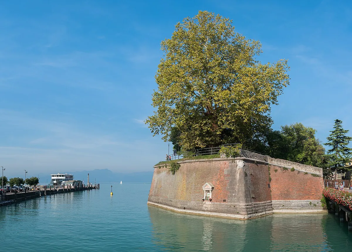
Ferries are the natural way to cross the water. Routes and timetables are published by Navigazione Laghi, and our Lake Garda ferry guide covers the practical detail. Lakeside buses link towns on the same shore. They are a poor way to reach the opposite side, so use a ferry or drive around. A boat tour suits sightseeing across several towns. A boat rental suits swimming stops at your own pace. Shoulder-season sailings run less often, so look at the current timetable first. At Malcesine, the Monte Baldo cable car lifts you above the eastern shore for a wide view of the lake. Local bus operators include ATV Verona on the Veneto side and Trentino Trasporti in the north.
Lake Garda spans 3 regions, and buses only link towns on the same shore, so cross the water by ferry.
Getting to Lake Garda
Most visitors arrive via Verona, Venice or Milan. Verona is the nearest of the three to the southern and eastern shores. Read Verona to Lake Garda: Train, Bus, Car and Day-Trip Plan for routes. Coming from the coast, see Venice to Lake Garda: Train, Car and Day Trip Guide. From the west, use Milan to Lake Garda: Train, Car, Bus and Transfer Options. Fast trains are sold by operators such as Italo. To compare flights, see the Closest Airport to Lake Garda: Which to Fly Into. Heading north afterward, Lake Garda to the Dolomites starts from the Riva del Garda end.
How Long to Stay and When to Go
Warm weather runs from April to September. July and August are the busiest months. June offers warm days with fewer crowds. Three days is a sensible minimum, in our editorial view, because the lake is long and crossings take time. That gives you one day per shore plus a buffer. Planning an off-season trip? Read Lake Garda in Winter: What's Open, Snow and Markets first, since many boats and seasonal services slow down.
Mistakes to Avoid When Using the Map
Do not assume the lake is quick to circle. Do not book a base on one shore if your day trips are on the other. Do not rely on buses to cross the water. Check ferry timetables before planning shoulder-season outings.
How the Three Regions Fit Around Lake Garda
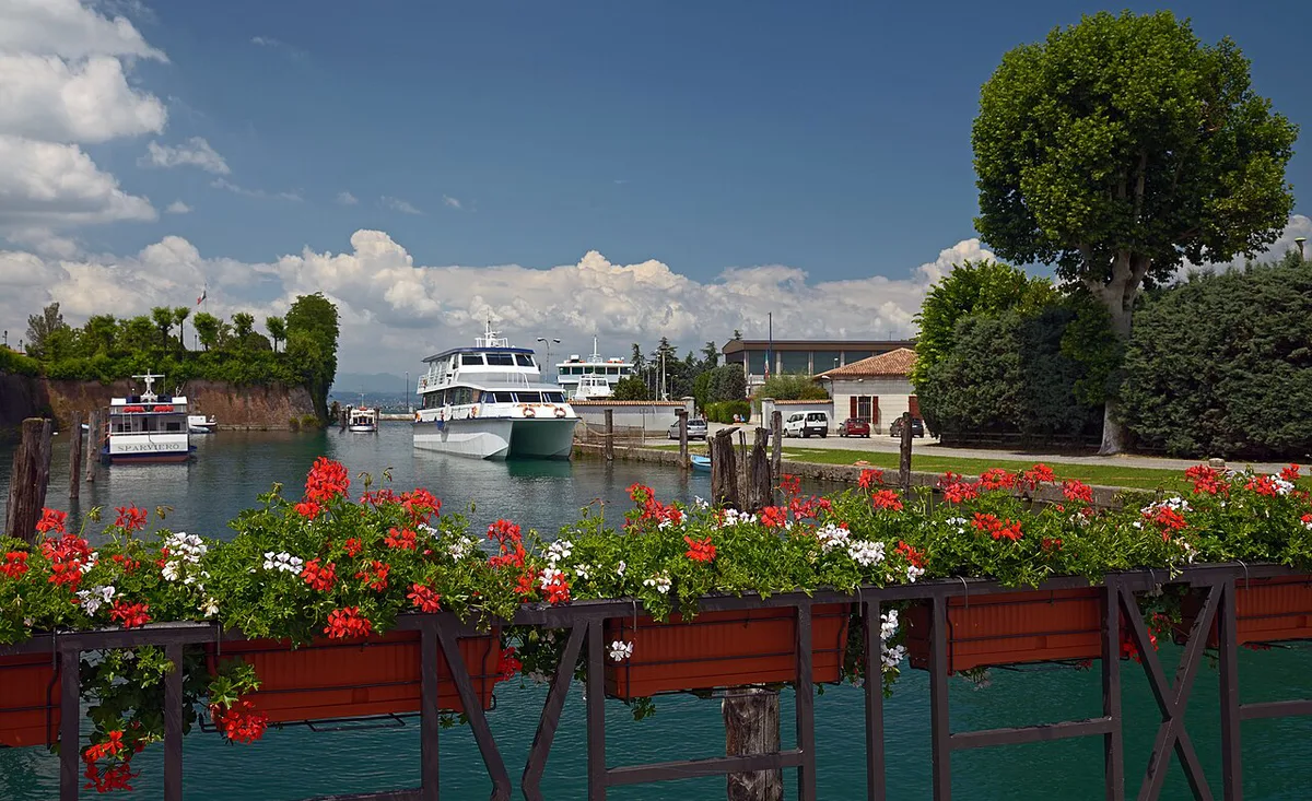
Use the map’s regional boundaries to narrow your base before comparing individual towns. Lombardy covers the western shore, where Salò, Gardone Riviera and Limone sul Garda line the lake. Veneto runs along the eastern shore, including Lazise, Bardolino and Malcesine. Trentino-Alto Adige reaches the narrow northern end around Riva del Garda.
The southern basin is best read as a transport zone rather than one uniform shore. Desenzano del Garda, Sirmione and Peschiera del Garda sit close to the main arrival routes, while the northern end suits mountain-focused days. The lake therefore spans 3 regions with different road, rail and ferry priorities.
On the western side, Gardone Riviera is a useful map landmark for visitors heading to Il Vittoriale degli Italiani. The estate is at Via del Vittoriale 12 and occupies a 10-hectare park. Marking it helps distinguish the western Riviera from the larger southern towns when planning a day by car or ferry.
Frequently Asked Questions
Where is Lake Garda, Italy?
Lake Garda is in northern Italy. Its shores belong to Lombardy, Veneto and Trentino-Alto Adige.
Can I swim in Lake Garda?
Yes, many towns have swimming access. Bathing water quality is published by the Italian Ministry of Health portal.
Notes for your next lake trip
Optional updates to our lake guides.
You might also like
Continue reading
More guides you'll find useful