Lake Como Map: Towns, Ferries & Where to Stay
A clear Lake Como map with towns grouped by area, ferry and train links, and how to choose your base.
On this page
Last updated November 2026: this lake como map guide shows how the lake's inverted Y fits together, so you can pick a base before you book. Three arms meet near the Bellagio peninsula, and each arm has its own towns, transport and pace. Read the layout first, then use the tables to match a base to your trip.
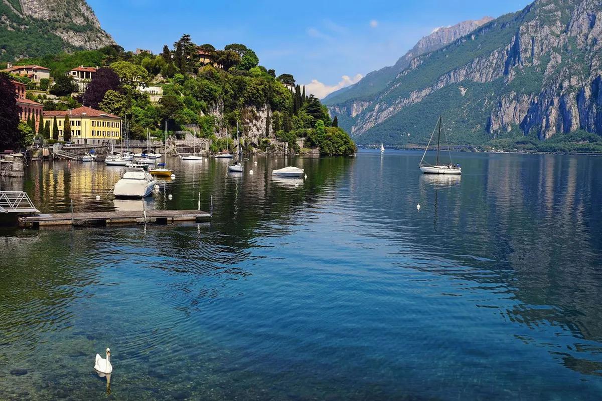
Featured image: Jocelyn777, CC BY-SA 2.0, via Flickr.
Lake Como Map at a Glance
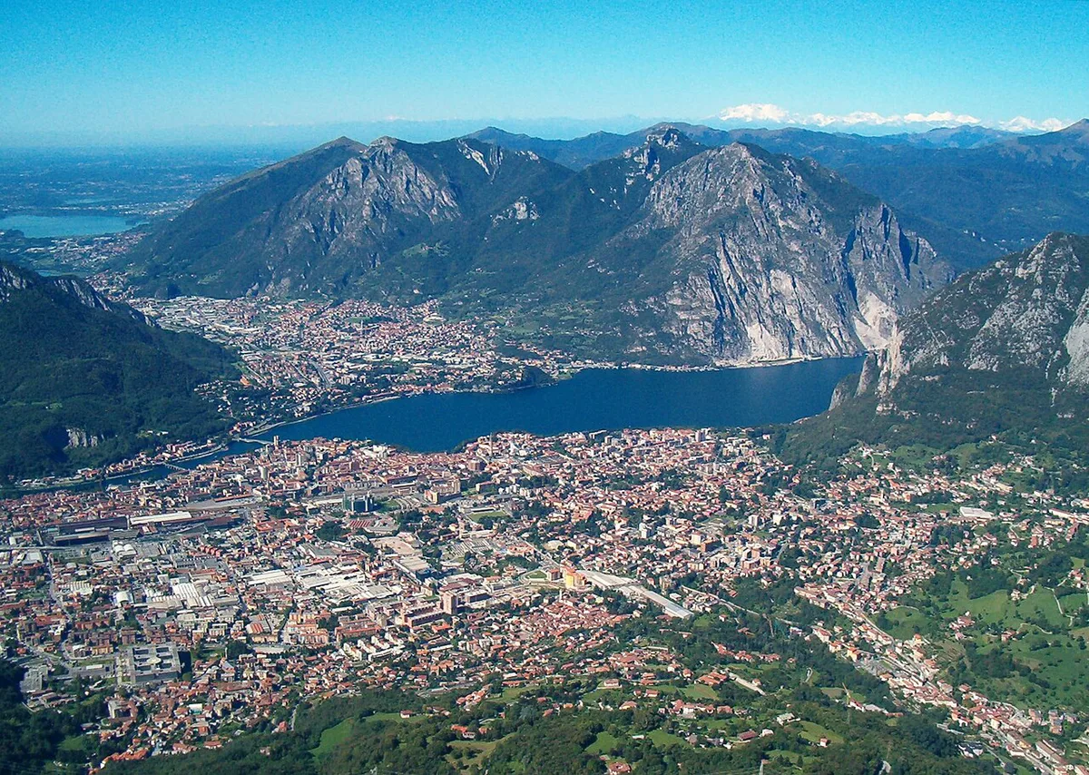
Lake Como is a long, inverted-Y lake with three arms. The Como arm runs southwest, the Lecco arm runs southeast, and the northern stretch heads toward Colico and Switzerland. Bellagio sits on the peninsula where the arms meet. Our complete Lake Como guide covers the destination as a whole, while this page focuses on reading the geography.
- Como arm: Como and Cernobbio, the closest towns to the southwest end.
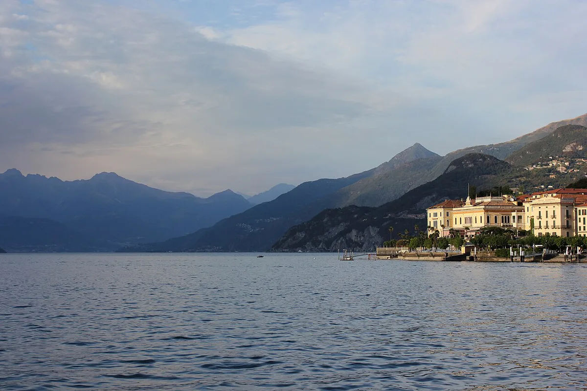
- Central lake: Bellagio, Tremezzina, Menaggio and Varenna, where most villas and ferry crossings cluster.
- Lecco arm: Lecco, with road and rail links on the southeast side.
- Upper lake: Gravedona and Colico, toward the Swiss border.

How the Lake Is Laid Out: Arms, Shores and Crossings
Start with the shores. The west shore holds Como, Cernobbio, Tremezzina, Menaggio and Gravedona. The east shore holds Lecco and Varenna. Bellagio sits between the two arms on its peninsula.
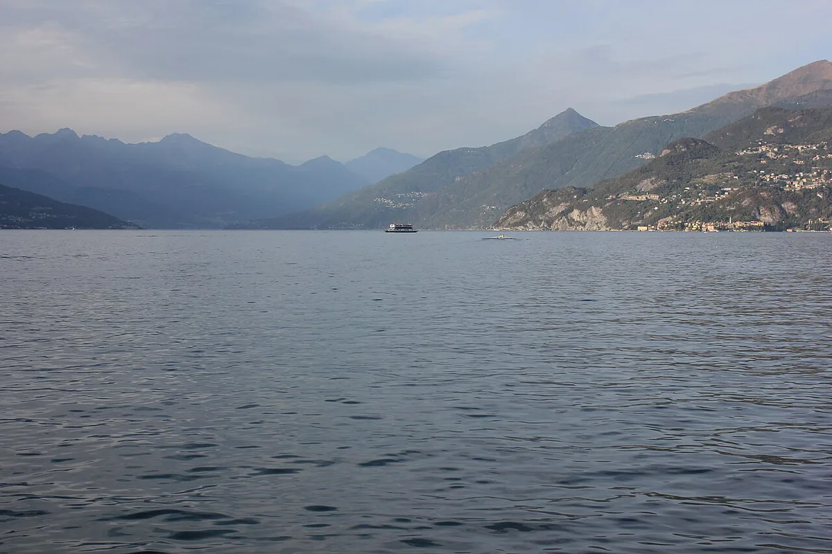
The central-lake triangle is Bellagio, Menaggio and Varenna. Crossings between these three towns turn a long loop by road into a short hop by water. A straight line on the map does not equal travel time, because the shore roads follow the water and the boats do not. Check the Navigazione Laghi network map for the lines that link these points. Our Lake Como ferry guide covers schedules and fares.
Towns and Sights by Area on the Lake Como Map
Prices and hours below were checked in November 2026. Como is the gateway on the southwest arm. The Brunate funicular leaves from Piazza Alcide De Gasperi, a short distance from the lake, and the ride takes 7 minutes. It is closed from 9 to 27 November 2026 for planned works.
On the west shore of the central lake, Villa del Balbianello sits in Tremezzina. A Villa and Park ticket costs €25, and a Park Ticket Only costs €15. From Lenno, the path is 1 km uphill and takes about 25 minutes. Villa Carlotta is also in Tremezzo and charges €17.50 for adults. Across the water, Bellagio has the Villa Melzi Gardens at €10, and Varenna has Villa Monastero.
| Sight | Area | Adult cost | Access note |
|---|---|---|---|
| Villa del Balbianello | Tremezzina, west shore | €25 villa and park; €15 park only | Walk from Lenno or taxi boat from Lido di Lenno; closed Monday and Wednesday, March to January |
| Villa Carlotta | Tremezzo, west shore | €17.50 | Boat stop is 400 meters from the entrance; C110 bus stops nearby |
| Villa Melzi Gardens | Bellagio | €10 | Tickets sold at the entrance; closed for winter until the end of March 2027 |
| Villa Monastero | Varenna, east shore | Buy online | Viale Giovanni Polvani 4 |
| Brunate funicular | Como | Io Viaggio tickets valid | 7-minute ride from Piazza Alcide De Gasperi |
Getting Around the Map: Ferry, Train, Bus and Car
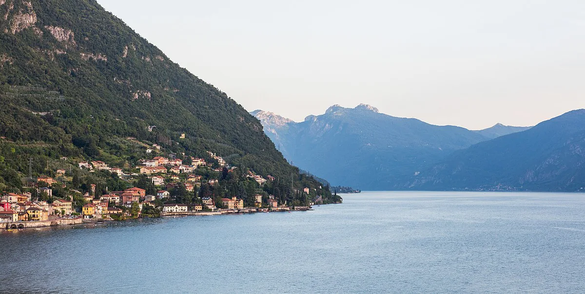
Not every town has a station. Tremezzina has no train station, so you reach Villa Carlotta by getting off at Como San Giovanni or Como Nord Lago. From there, take the boat or the C110 bus. Boat travel from Como to Tremezzo takes about 45 minutes. Another route runs through Varenna-Esino, then a boat across.
Bus line C110, run by ASF Autolinee, links Como, Menaggio and Colico along the west shore. Our Lake Como train station guide explains which station suits which town. Trenord publishes regional rail timetables for the lines serving Como and Varenna. Drivers face narrow shore roads and limited parking in the towns. Villa Carlotta suggests the Villa Mainona multi-storey car park on Via Peduzzi in high season.
| Route | Best mode | Trade-off |
|---|---|---|
| Como to Tremezzo | Boat, about 45 minutes, or C110 bus | Boat is scenic; bus follows the shore road |
| Como to Menaggio | C110 bus | No train on this shore |
| Milan to Varenna | Train to Varenna-Esino | Reaches the east shore directly |
| Menaggio, Bellagio and Varenna | Ferry | Fastest way across the central triangle |
| Villa del Balbianello | Walk from Lenno or taxi boat | Taxi boat is by reservation only |
Where to Base Yourself
Choose your base by how you move, not by how pretty a town looks on the map. Without a car, favor a town on a ferry line or a train line. With a car, expect parking friction in the small towns. Our list of things to do helps once you have picked an area. Our Lake Como Itinerary: 3-Day Plan by Ferry and Villa shows how to sequence the stops.
A Varenna base reaches the east shore by rail, while the boat from Como to Tremezzo takes 45 minutes.
| Traveler | Base | Access | Trade-off | Skip it if |
|---|---|---|---|---|
| First-timer | Bellagio | Ferry crossings across the central lake | Busy in high season | You want a quiet evening |
| No car | Varenna | Varenna-Esino train station plus boat | East shore only by rail | You want the west-shore villas daily |
| Villa-focused | Tremezzo or Menaggio | C110 bus and ferry | No train station in Tremezzina | You arrive by rail late at night |
| Hiker | Como | Funicular to Brunate, trains from Milan | Funicular closed 9 to 27 November 2026 | You want a quiet village feel |
| Day-tripper from Milan | Como | Train to Como San Giovanni or Como Nord Lago | Covers one arm only | You plan to cross both arms in a day |
Seasonal and Practical Notes
Autumn and winter reshape the map. Villa Carlotta runs 10:00 to 18:00 from 19 October to 8 November 2026, with last ticket at 17:00. Its Autumn Winter Special then covers 14–15, 21–22 and 28–29 November and 5–8 December, from 10:00 to 16:00. Villa del Balbianello moves to reduced hours from November. Villa Melzi Gardens reopens at the end of March 2027. Villa Monastero hosts its Christmas lighting from 6 November 2026 to 10 January 2027.
Brunate's funicular is closed from 9 to 27 November 2026, while Villa Carlotta's Autumn Winter Special runs on weekends in that window.
For month-by-month detail, see our guides to Lake Como in September: Weather, Crowds & What to Expect, Lake Como in October: Weather, Boats & What's Open, Lake Como in November: Weather, Ferries & What's Open and Lake Como in Winter: What's Open, What's Closed, and Who Should Go. Use Visit Lake Como for current local events.
- Distance on the map is not travel time, so allow for loops by road.
- Not every town has a train station, so plan the last leg by boat or bus.
- Off-season ferry gaps are longer, so confirm the last boat before crossing.
- Covering both arms in one day is a stretch; pick one arm per day.
Frequently Asked Questions
What airport should I fly into for Lake Como, Italy?
Milan's airports are the usual gateways, and Milan Airports lists their services. Our closest airport guide compares them. For the onward trip, see Malpensa to Lake Como: Train, Bus, Taxi and Transfer Options.
Is Lake Como a swimming lake?
Swimming is possible from several lakeside spots, and our Lake Como swimming guide lists them. Bathing-water monitoring is published on the Italian Ministry of Health water portal.
Notes for your next lake trip
Optional updates to our lake guides.
You might also like
Continue reading
More guides you'll find useful