
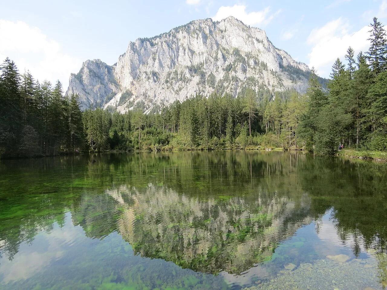
Grüner See, Austria: When to Visit, Getting There and Rules
When is Grüner See's park underwater, how do you get there, and what are the rules? A practical guide to Styria's Green Lake.
On this page
Last updated November 2026: Grüner See is a small, very clear mountain lake in Styria, near Tragöß. Its surrounding park floods with snowmelt each spring and early summer, which is why searches for gruner see (also spelled Gruner See) turn up benches and paths under water. This guide covers timing, access, rules and who should skip the detour.
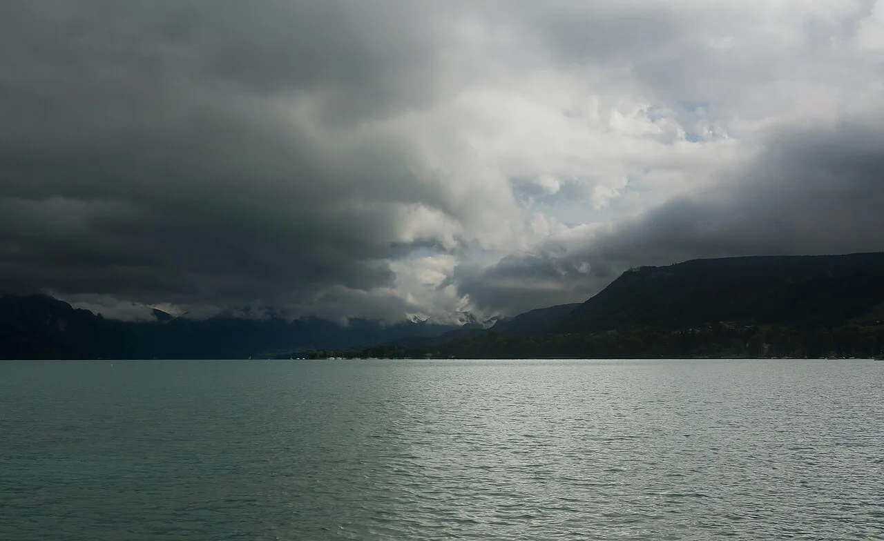
Featured image: GT1976, CC BY-SA 4.0, via Wikimedia Commons.
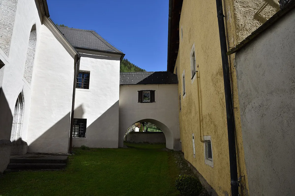
What Grüner See Is (and Why It Looks Like That)
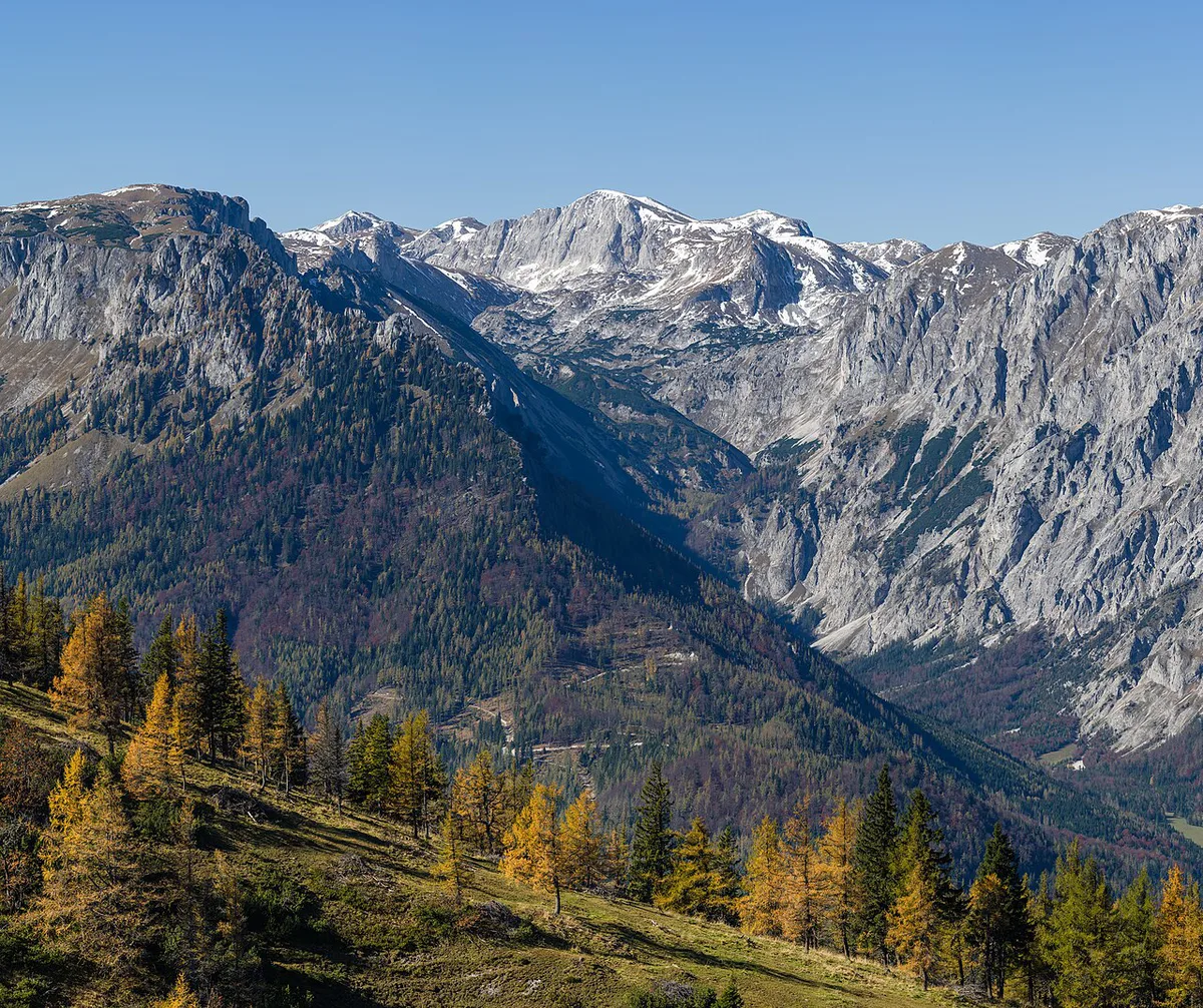
Grüner See means "Green Lake". It lies near Tragöß in Styria, at the foot of the Hochschwab mountains, and visitors usually head for Tragöß-Oberort. In winter the water is only about 1–2 m deep, and the shore works as a park with walking trails and benches. Snowmelt from the surrounding mountains fills the basin through spring. At peak, depth reaches roughly 12 m and covers the paths, benches and a small bridge. Meltwater is cold and very clear, so the grass and foliage below show through in green. All depths are approximate and change from year to year. If you are comparing destinations, our guide to more Austrian lakes shows the alternatives. Short verdict: worth a visit for the spectacle, but only if the timing is right.
When to Go: Month by Month
Water level follows snowpack and spring weather, so every month below is a pattern rather than a promise. Accounts put the highest water around June, with recession from July. A heavy or late snow year can shift both. Look at a live webcam or the local tourism updates before you travel. Start with Tragöß-Sankt Katharein tourism for current conditions.
| Period | Water level | What you see | Photo potential |
|---|---|---|---|
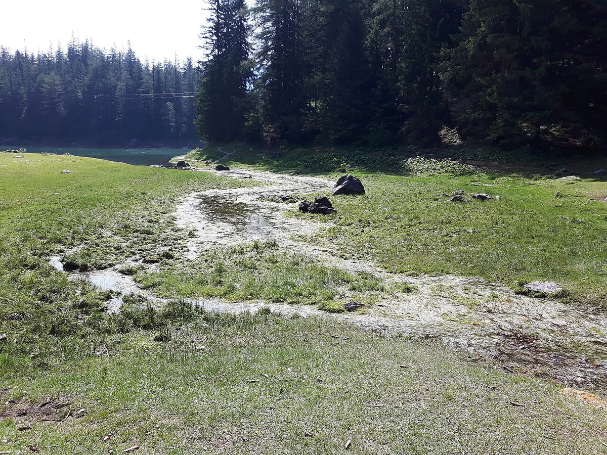
| Winter | Low, about 1–2 m | Dry park, trails and benches walkable | Calm, snowy scenes; no flooded meadow |
| Spring | Rising with snowmelt | Paths and benches going under | Changing day to day |
| Around June | Highest, up to roughly 12 m | Fully flooded park, benches and bridge underwater | Strongest for the underwater look |
| From July | Falling | Park slowly re-emerging | Good mix of water and meadow |
| Autumn | Back near base level | Walkable shore again | Quiet, lower-key |
How to Get to Grüner See
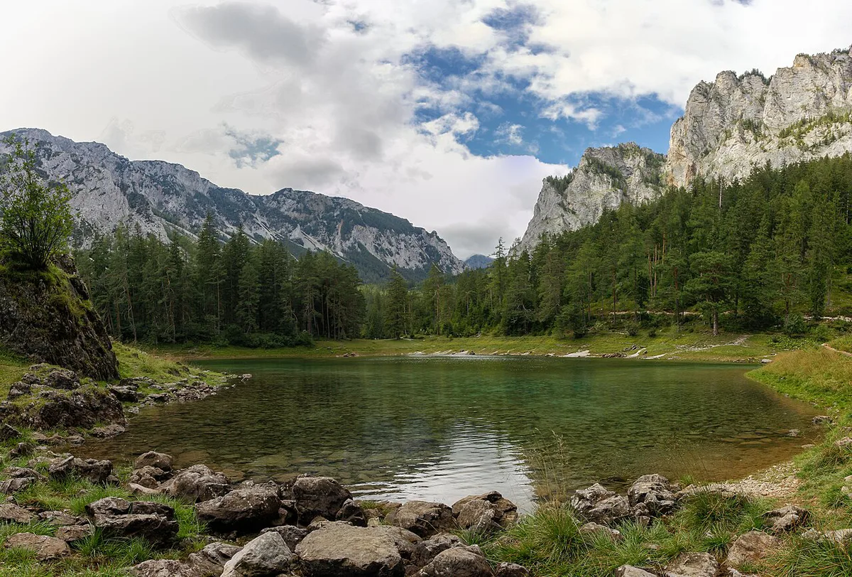
Graz, Bruck an der Mur and Vienna are the usual starting points, with Tragöß-Oberort as the destination village. Bus links may be infrequent or seasonal, so check the current timetable with ÖBB or Postbus.
- By car: head for Tragöß-Oberort from Graz or Bruck an der Mur.
- By public transport: plan a train to the Bruck an der Mur area, then look for a bus onward.
- From Vienna: allow a full travel day if you rely on public transport.
Gruner See Rules: Swimming, Diving and Dogs
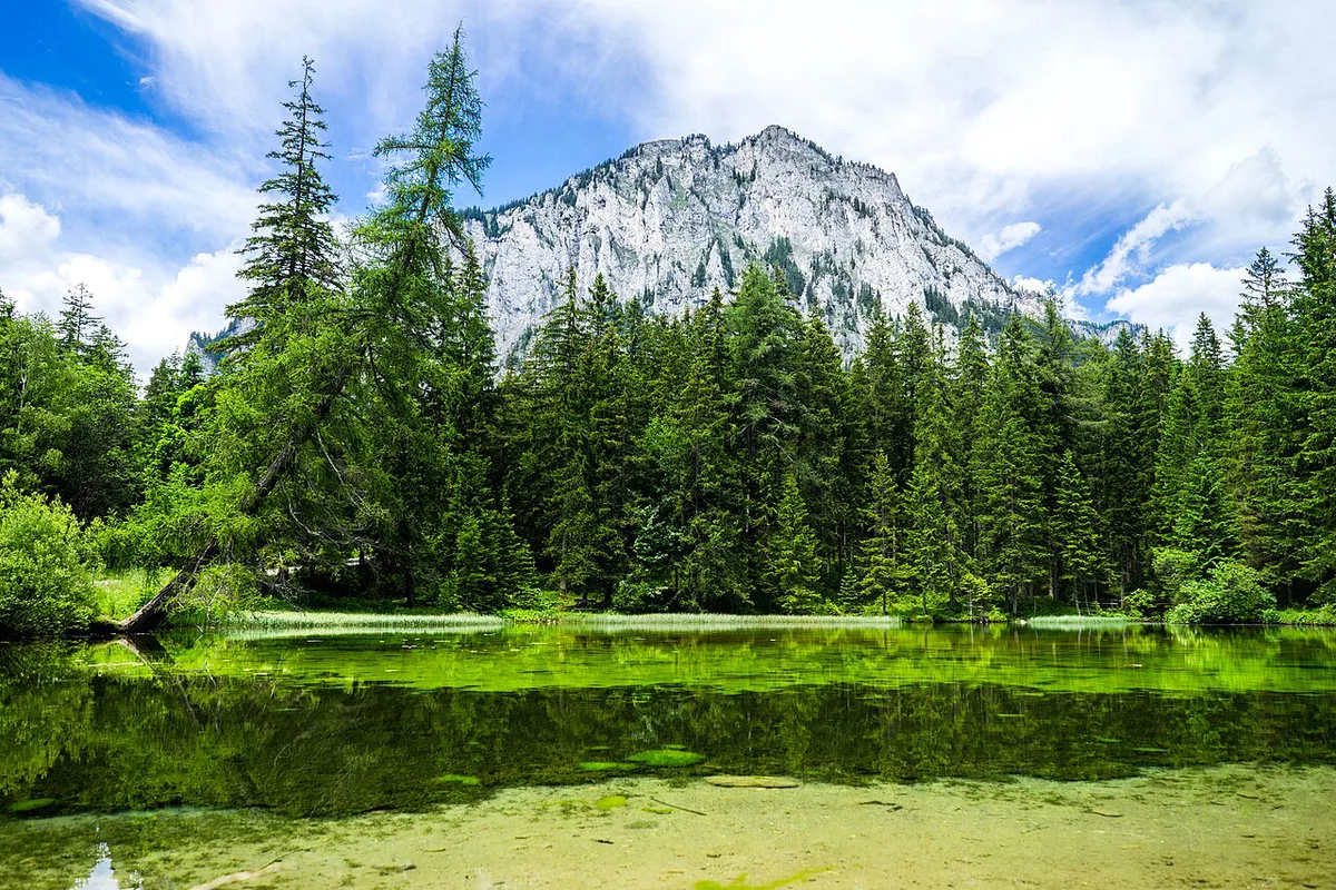
Reports say watersports have been prohibited since 1 January 2016 to protect the sensitive shoreline. Swimming, boats and dogs are also reported as restricted. Some older write-ups praise diving, which conflicts with that. Treat all of them as off-limits unless the municipality says otherwise. Water of roughly 4–8 °C makes swimming unappealing anyway. For current rules on drones and access, ask through Styria tourism or the local office.
Costs, Parking and Facilities
No current entry fee or parking tariff is confirmed here. Look up euro rates, shuttle details and facilities on the Tragöß-Sankt Katharein tourism page before you set out.
What to Do Around the Lake
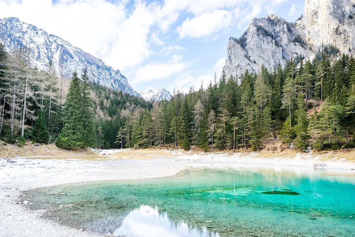
Walk the lakeside path and sit on a bench with the Hochschwab behind you. In winter and autumn those benches are dry, while in June they sit underwater. Photographers get the most from calm mornings, when the surface is flat and the green shows clearly. Tragöß-Oberort is the nearest village for a break. Keep to the marked paths, since the meadow is protected.
Water of roughly 4–8 °C rules out a dip, so the calm-morning photo walk is the real plan here.
Is Grüner See Worth It? Who Should Skip
Go if you want a short, easy nature stop with a distinctive seasonal effect. Compare it with Attersee, which suits a larger lake day and activities on the water. Grüner See is small, protected and meant for looking, not swimming.
- Skip it if you want swimming, boating or water sports.
- Skip it if you only have a day in Vienna or Salzburg and no car.
- Mistake: visiting in winter and expecting a flooded park.
- Mistake: arriving without checking the water level first.
Where to Stay and Combine It With
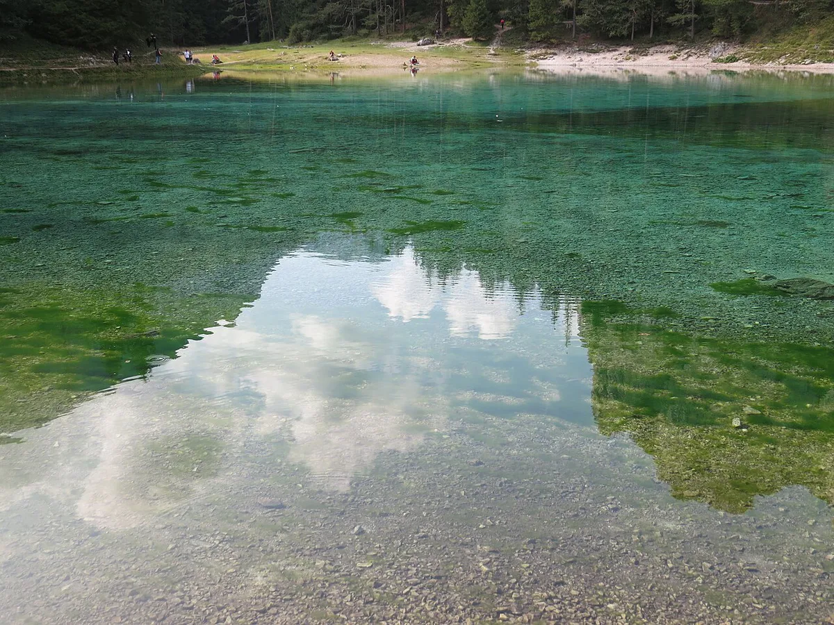
Stay in Tragöß or a nearby town if you want early light at the lake. Graz and Bruck an der Mur work as bigger bases. A half day covers the shore walk and photos. For a full day, add another Styrian lake such as Grundlsee, which has a different character. Lake Fuschl (Fuschlsee): How to Visit From Salzburg, Swim, Walk and Plan Your Day is an alternative if you are heading toward Salzburg. Vilsalpsee lies in Tyrol, so do not pair it with this stop.
A Simple Half-Day Plan for Grüner See
Grüner See works best as a focused half-day stop rather than an all-day lake resort. Start in Tragöß-Oberort, then follow the marked lakeside path for views of the Hochschwab and the changing shoreline. Calm mornings give photographers the clearest reflections and the strongest green colour.
Choose your plan around the water level. In winter, the lake is only about 1–2 m deep, so the park paths and benches are generally visible. Around June, snowmelt can raise the lake to roughly 12 m, covering paths, benches and the small bridge. That is the best period for the underwater-park effect.
Check the local tourism update or webcam before leaving. Water levels can change with snowpack and spring weather. For a longer day, pair the stop with Grundlsee rather than expecting swimming or boating at Grüner See.
Frequently Asked Questions
Is there an underwater park in Austria?
Yes. Grüner See in Styria floods its surrounding park with snowmelt each spring and early summer. Benches, paths and a bridge sit underwater at peak, and the park re-emerges from about July.
Notes for your next lake trip
Optional updates to our lake guides.
You might also like

Continue reading
More guides you'll find useful